Inrather Berg, Krefeld
Map
Map

Facts and practical information
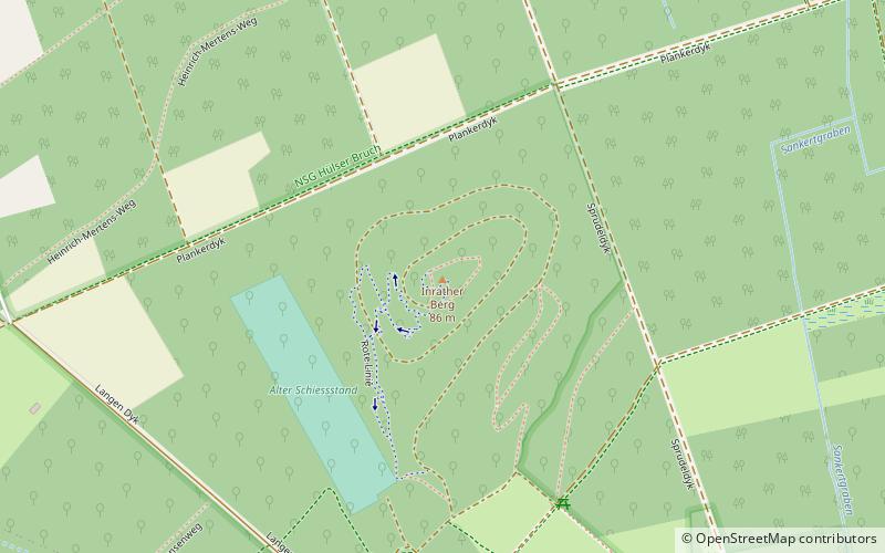
The Inrather Berg, with its height of 87 m above sea level, is the highest elevation in the city of Krefeld. Unlike the Hülser Berg, the highest natural elevation of the city, however, it is man-made. It is a mountain of rubble and a former construction debris landfill, where, among other things, the rubble of buildings destroyed in World War II. Its nickname is therefore Monte Klamotte.
Coordinates: 51°21'59"N, 6°32'38"E
Address
Hülser BergKrefeld
ContactAdd
Social media
Add
Day trips
Inrather Berg – popular in the area (distance from the attraction)
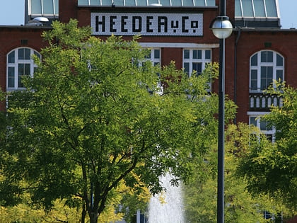
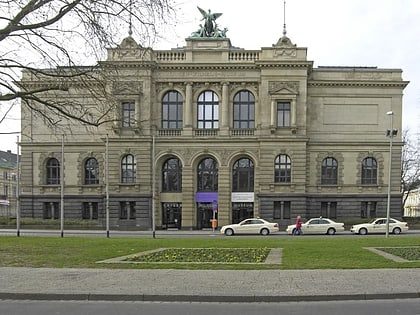
Nearby attractions include: Haus Lange and Haus Esters, König Palast, Fabrik Heeder, Villa Merländer.
Frequently Asked Questions (FAQ)
How to get to Inrather Berg by public transport?
The nearest stations to Inrather Berg:
Tram
Bus
Tram
- Inrath Siedlung • Lines: 044 (24 min walk)
- Kützhofweg • Lines: 044 (24 min walk)
Bus
- Grabeskirche/Kapuzinerkloster • Lines: 076, 077, 079 (25 min walk)
- Kützhofweg • Lines: 069, 076, 077, 079 (25 min walk)


