St. Laurentius, Essen
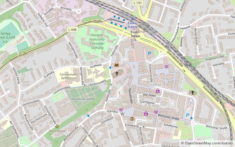
Map

Map

Facts and practical information
The Catholic parish church of St. Laurentius is a listed church building in Essen-Steele.
Architectural style: Gothic revivalCoordinates: 51°26'54"N, 7°4'28"E
Day trips
St. Laurentius – popular in the area (distance from the attraction)
Nearby attractions include: Friedenskirche Steele, Zionskirche, Fürstin-Franziska-Christine-Stiftung, Kirche Heiliger Schutzengel.
Frequently Asked Questions (FAQ)
Which popular attractions are close to St. Laurentius?
Nearby attractions include Steele, Essen (4 min walk), Fürstin-Franziska-Christine-Stiftung, Essen (4 min walk), Friedenskirche Steele, Essen (7 min walk).
How to get to St. Laurentius by public transport?
The nearest stations to St. Laurentius:
Bus
Tram
Train
Bus
- Joseph-Boismard-Weg • Lines: 194 (5 min walk)
- Steele S • Lines: 144, 164, 166, 170, 174, 177, 184, 194, 363, Ne14, Ne4, Ne5 (5 min walk)
Tram
- Steele S • Lines: 103, 109 (5 min walk)
- Stadtgarten • Lines: 103, 109 (13 min walk)
Train
- Essen-Steele (5 min walk)
- Essen-Steele Ost (17 min walk)


