Steele, Essen
Map

Map

Facts and practical information
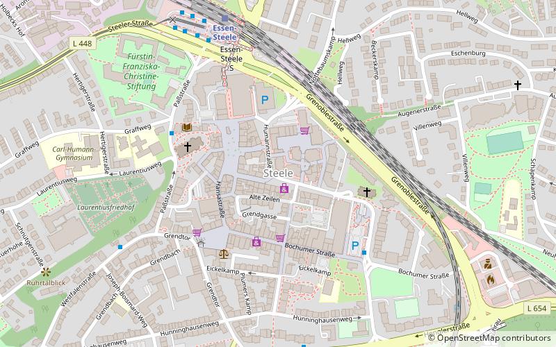
Steele is a suburb of Essen, Germany. It is bordered on the south by the Ruhr river, and by the suburbs of Kray in the north, Leithe in the northeast, Freisenbruch in the east, Horst in the southeast, Überruhr in the south, Bergerhausen in the southwest, and Huttrop in the west. It has two railway stations, Essen-Steele station and Essen-Steele Ost station. ()
Address
Hansastraße 11-13Steele - Kray (Steele)Essen
ContactAdd
Social media
Add
Day trips
Steele – popular in the area (distance from the attraction)
Nearby attractions include: Friedenskirche Steele, Zionskirche, St. Laurentius, Fürstin-Franziska-Christine-Stiftung.
Frequently Asked Questions (FAQ)
Which popular attractions are close to Steele?
Nearby attractions include Friedenskirche Steele, Essen (4 min walk), St. Laurentius, Essen (4 min walk), Fürstin-Franziska-Christine-Stiftung, Essen (6 min walk).
How to get to Steele by public transport?
The nearest stations to Steele:
Train
Bus
Tram
Train
- Essen-Steele (6 min walk)
- Essen-Steele Ost (14 min walk)
Bus
- Steele S • Lines: 144, 164, 166, 170, 174, 177, 184, 194, 363, Ne14, Ne4, Ne5 (6 min walk)
- Joseph-Boismard-Weg • Lines: 194 (6 min walk)
Tram
- Steele S • Lines: 103, 109 (6 min walk)
- Stadtgarten • Lines: 103, 109 (16 min walk)


