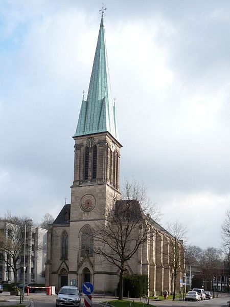
Friedenskirche Steele, Essen

Facts and practical information
Friedenskirche Steele (address: Kaiser-Wilhelm-Straße 37) is a place located in Essen (North Rhine-Westphalia state) and belongs to the category of church.
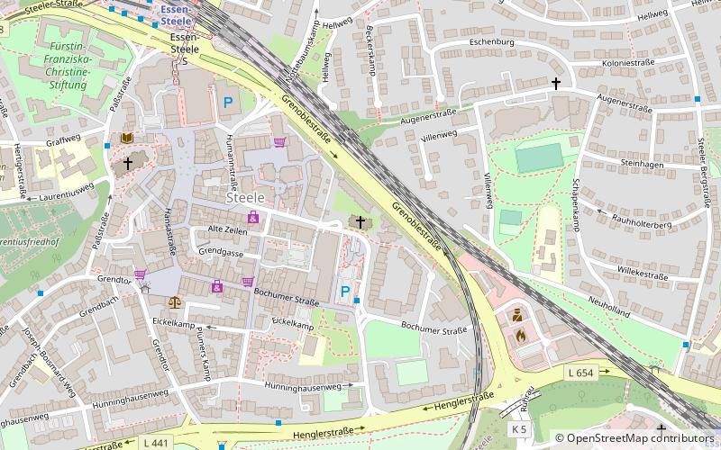
It is situated at an altitude of 207 feet, and its geographical coordinates are 51°26'50"N latitude and 7°4'48"E longitude.
Planning a visit to this place, one can easily and conveniently get there by public transportation. Friedenskirche Steele is a short distance from the following public transport stations: Essen-Steele (train, 8 min walk), Steele S (bus, 8 min walk), Steele S (tram, 9 min walk).
Among other places and attractions worth visiting in the area are: Steele (city, 4 min walk), St. Laurentius (church, 7 min walk), Fürstin-Franziska-Christine-Stiftung (park, 9 min walk).
Kaiser-Wilhelm-Straße 37Steele - Kray (Steele)Essen 45276
- Bus
- Tram
- Train
 Bus
Bus
- Calculate routeEssen-Steele 8 min walk
- Calculate routeEssen-Steele Ost 11 min walk
- Calculate routeEssen-Kray Süd 20 min walk
- Calculate routeEssen-Horst 38 min walk
- Calculate routeSteele S 8 min walk
- Calculate routeJoseph-Boismard-Weg 9 min walk
- Calculate routeKurt-Schumacher-Brücke 9 min walk
- Calculate routePläßweidenweg 10 min walk
- Calculate routeSteele S 9 min walk
- Calculate routeStadtgarten 19 min walk
- Calculate routeKnappschafts-Krankenhaus 24 min walk


Frequently Asked Questions (FAQ)
When is Friedenskirche Steele open?
- Monday closed
- Tuesday closed
- Wednesday closed
- Thursday closed
- Friday closed
- Saturday 11 am - 1 pm
- Sunday 10:30 am - 11:30 am
Which popular attractions are close to Friedenskirche Steele?
How to get to Friedenskirche Steele by public transport?
Train
- Essen-Steele (8 min walk)
- Essen-Steele Ost (11 min walk)
Bus
- Steele S • Lines: 144, 164, 166, 170, 174, 177, 184, 194, 363, Ne14, Ne4, Ne5 (8 min walk)
- Joseph-Boismard-Weg • Lines: 194 (9 min walk)
Tram
- Steele S • Lines: 103, 109 (9 min walk)
- Stadtgarten • Lines: 103, 109 (19 min walk)