Leuchtturm Norderney, Norderney


Facts and practical information
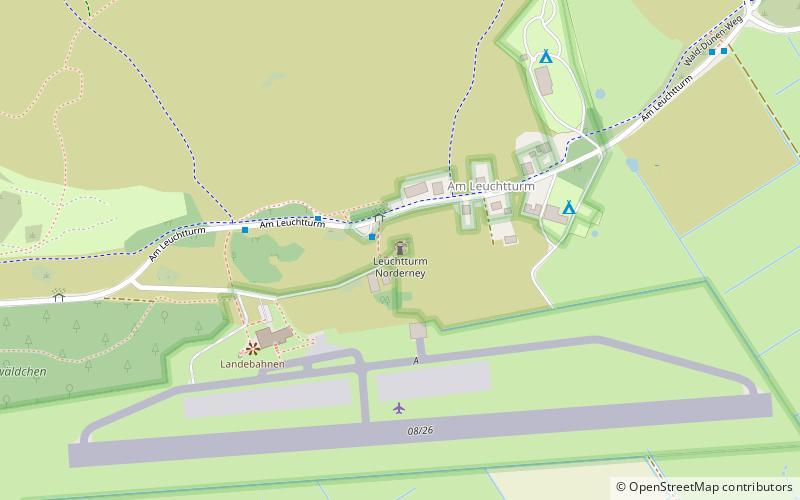
Norderney Lighthouse is a listed active navigation landmark, landmark and signpost off the mainland coast of Lower Saxony. It was built between 1871 and 1874 on a dune about 10 meters high, approximately in the middle of the East Frisian island of Norderney. With its octagonal cross-section in the upper part, the lighthouse is an architecturally noteworthy structure, and with its height of almost 60 m above sea level, it is also the highest structure on the island. Below the lantern is a surrounding spectator gallery, which can be reached via 252 steps.
The tower with the international order number B 1054 belongs to the Water and Shipping Administration of the Federal Republic of Germany, outer district Emden. The lighthouse includes a two-story, seven-axle red-tile-roofed keeper's and engine house, also built between 1871 and 1874, which housed a telegraph station until the 1950s.
Am LeuchtturmNorderney
Leuchtturm Norderney – popular in the area (distance from the attraction)
Nearby attractions include: Inselkirche, Kaiser-Wilhelm-Denkmal, Kurplatz, St. Ludgerus.


