Altenbochum, Bochum
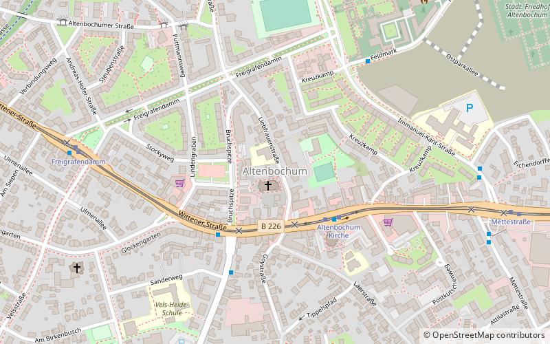
Map
Facts and practical information
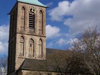
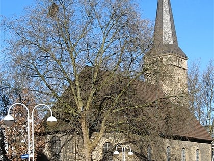
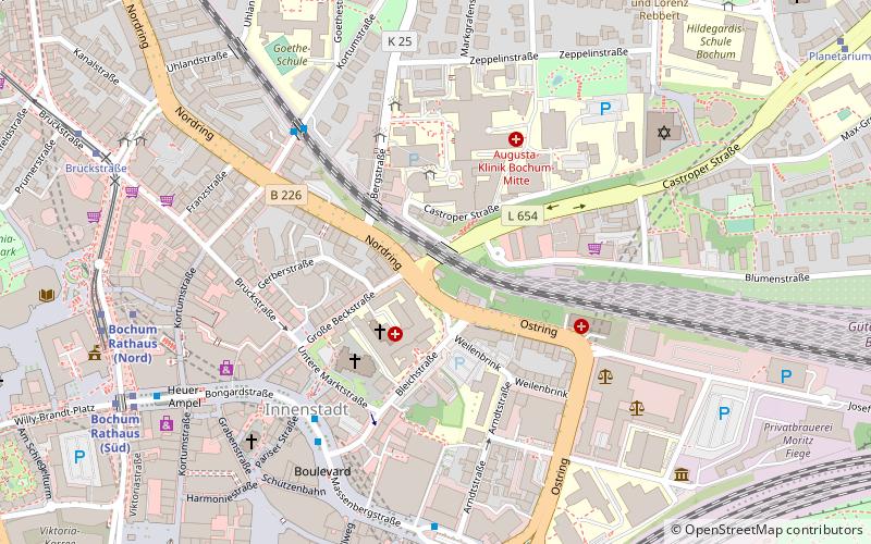
Altenbochum is a statistical area and a district of the city of Bochum in the Ruhr area in North Rhine-Westphalia in Germany. Altenbochum is East of the central business district. Altenbochum lies between Gleisdreieck and Laer. Altenbochum is connected to Gelsenkirchen, the district Langendreer, central Witten and Heven by tram. Tram lines 302 and 310 and several bus lines stop here. ()
Address
Bochum Mitte (Altenbochum)Bochum
ContactAdd
Social media
Add
Day trips
Altenbochum – popular in the area (distance from the attraction)
Nearby attractions include: Ruhrstadion, Propsteikirche St. Peter und Paul, St. Paulus Church, Zoo Bochum.
Frequently Asked Questions (FAQ)
How to get to Altenbochum by public transport?
The nearest stations to Altenbochum:
Tram
Bus
Metro
Train
Tram
- Altenbochum Kirche • Lines: 302, 305, 310 (3 min walk)
- Freigrafendamm • Lines: 302, 305, 310 (7 min walk)
Bus
- Sanderweg • Lines: Ne8 (4 min walk)
- Mettestraße • Lines: 355, 358 (8 min walk)
Metro
- Oskar-Hoffmann-Straße • Lines: U35 (24 min walk)
- Waldring • Lines: U35 (24 min walk)
Train
- Bochum Hauptbahnhof (29 min walk)

