Hordel, Bochum
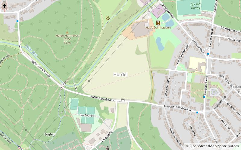
Map
Facts and practical information
Address
Bochum Mitte (Hordel)Bochum
ContactAdd
Social media
Add
Getting there by public transportation
Public transportation stops near this location
- Bus
- Tram
 Bus
Bus
- Calculate routeSchoppenkampstraße 7 min walk
- Calculate routeDahlhauser Straße 15 min walk
- Calculate routeRichard-Wagner-Straße 20 min walk
- Calculate routeEickeler Straße 23 min walk
- Calculate routeBreslauer Straße 24 min walk
- Calculate routeHordeler Straße 24 min walk
- Calculate routeBodelschwinghplatz 25 min walk
Day trips


Frequently Asked Questions (FAQ)
How to get to Hordel by public transport?
The nearest stations to Hordel:
Bus
Tram
Bus
- Schoppenkampstraße • Lines: Ne1 (7 min walk)
- Dahlhauser Straße • Lines: 390, 391 (15 min walk)
Tram
- Eickeler Straße • Lines: 306, 316 (23 min walk)
- Breslauer Straße • Lines: 306, 316 (24 min walk)