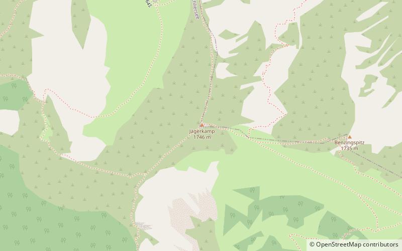
Jägerkamp, Schliersee
#6 among attractions in Schliersee


Facts and practical information
The Jägerkamp is a 1746 m above sea level mountain in the Schlierseer mountains, a subgroup of the Bavarian Prealps.
Schwarzenkopf 1Schliersee 83727 Germany
Jägerkamp – popular in the area (distance from the attraction)
Nearby attractions include: Rotwand, Schliersee Lake, Soinsee, Schlierseer Bauerntheater.
 Tall mountain popular for climbing
Rotwand, Spitzingsee
54 min walk • The Rotwand is a 1,884 m high peak in the Mangfall Mountains in Bavaria, the highest summit in the Spitzingsee region and one of the most popular of Munich's local mountains.
 Nature, Natural attraction, Lake
Schliersee Lake, Schliersee
102 min walk • Schliersee is a natural lake in Upper Bavaria in the Bavarian Alps. It is located next to the small town of Schliersee in the Miesbach district.
 Natural attraction, Nature, Lake
Soinsee
71 min walk • Nestled in the picturesque Bavarian Alps of Germany, Soinsee is a tranquil mountain lake that epitomizes the serene beauty of nature. This hidden gem, often overlooked in favor of more famous German lakes, offers visitors a peaceful retreat from the hustle and bustle...
 Concerts and shows, Theater
Schlierseer Bauerntheater, Schliersee
116 min walk • Schlierseer Bauerntheater is a theatre in Schliersee, Bavaria, Germany.
 Mountain peak with rock-climbing courses
Breitenstein Mountain
129 min walk • Nestled within the verdant landscapes of Germany, Breitenstein Mountain emerges as a serene and inviting destination for nature enthusiasts and hikers alike. This mountain, which is part of the Swabian Jura in Baden-Württemberg, offers a tranquil retreat from the...
 Nature, Natural attraction, Trail
Brecherspitz, Schliersee
42 min walk • The Brecherspitz is a mountain in Bavaria, Germany. It is about 18 minutes from nearby towns of Fischbachau and Schliersee. From the top, you can see views of small lake Spitzingsee, Miesbach District, and Austrian Border.
 Natural attraction, Nature, Mountain
Wallberg
131 min walk • Wallberg is a mountain in the Mangfallgebirge, part of the Bavarian Alps in the south of Bavaria, Germany.
 Nature, Natural attraction, Mountain
Bodenschneid, Spitzingsee
81 min walk • The Bodenschneid is a 1,668 m high mountain in the Schliersee Mountains in the Mangfall range in the German Free State of Bavaria.
 Nature, Natural attraction, Mountain
Roßkopf, Spitzingsee
61 min walk • The Roßkopf is a 1,580-metre-high peak in the Mangfall Mountains in Upper Bavaria. It lies in the south of the district of Miesbach right on the boundary between the parishes of Schliersee in the east and Rottach-Egern in the west, which forms the watershed between the lakes of Schliersee and Tegernsee.
 Mountain with hiking trails and lake views
Baumgartenschneid
126 min walk • The Baumgartenschneid is a 1,448 metre high mountain in the Bavarian Prealps above the Tegernsee to the east.
 Mountain with hiking routes and views
Aiplspitz, Spitzingsee
21 min walk • The Aiplspitz is a 1,759 meter high mountain in the Rotwand group east of the Spitzingsee in the Bavarian Prealps, Germany.
