Gelterswoog, Kaiserslautern
Map

Map

Facts and practical information
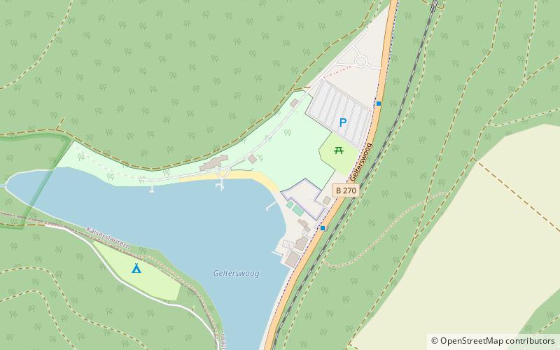
The Gelterswoog is a reservoir in the district of Hohenecken in the West Palatinate city of Kaiserslautern. Three valley cuts of its tributaries, including the Walkmühl and Kolbental valleys with Kolbenwoog and Kolbenmoor, as well as the siltation zones on the lakeshore have been classified as the nature reserve Täler und Verlandungszone am Gelterswoog since 1997.
Elevation: 958 ft a.s.l.Coordinates: 49°23'46"N, 7°41'42"E
Day trips
Gelterswoog – popular in the area (distance from the attraction)
Nearby attractions include: Karlstal, Humberg Tower, Trippstadter Schloss, Hohenecken Castle.
Frequently Asked Questions (FAQ)
How to get to Gelterswoog by public transport?
The nearest stations to Gelterswoog:
Bus
Bus
- Gelterswoog Bahnhof • Lines: 111 (3 min walk)
- Seehotel • Lines: 111 (8 min walk)


