Klusenstein Castle

Gallery (2)
Map
Map
Gallery
Facts and practical information
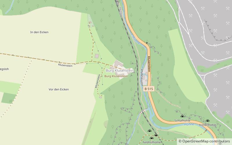
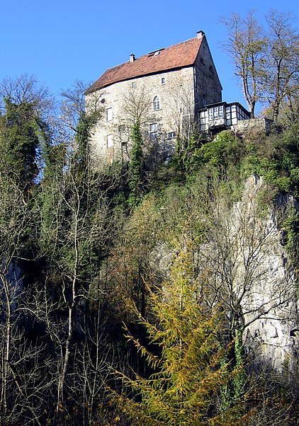
Klusenstein is a castle in Hemer, Germany, located on a 60m high cliff above the valley of the Hönne river. The castle was built in 1353 as a boundary fortification of the earldom Mark. ()
Location
North Rhine-Westphalia
ContactAdd
Social media
Add
Day trips


