Düren, Düren
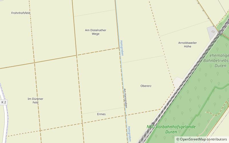
Map
Facts and practical information
Düren is a Kreis in the west of North Rhine-Westphalia, Germany. Neighboring districts are Heinsberg, Neuss, Rhein-Erft-Kreis, Euskirchen and Aachen. ()
Getting there by public transportation
Public transportation stops near this location
- Bus
- Train
 Bus
Bus
- Calculate routeArnoldsweiler Rather Straße 17 min walk
- Calculate routeTrierer Straße 17 min walk
- Calculate routeArnoldsweiler Mitte 18 min walk
- Calculate routeIm Jagdfeld 21 min walk
- Calculate routeMerzenich 27 min walk
- Calculate routeDüren Im Großen Tal 30 min walk
Day trips


Frequently Asked Questions (FAQ)
How to get to Düren by public transport?
The nearest stations to Düren:
Bus
Train
Bus
- Arnoldsweiler Rather Straße • Lines: 209, 229, 236 (17 min walk)
- Trierer Straße • Lines: 238, Sb 38 (17 min walk)
Train
- Merzenich (27 min walk)
- Düren Im Großen Tal (30 min walk)