Standseilbahn Talstation, Stuttgart
Map
Gallery
Facts and practical information
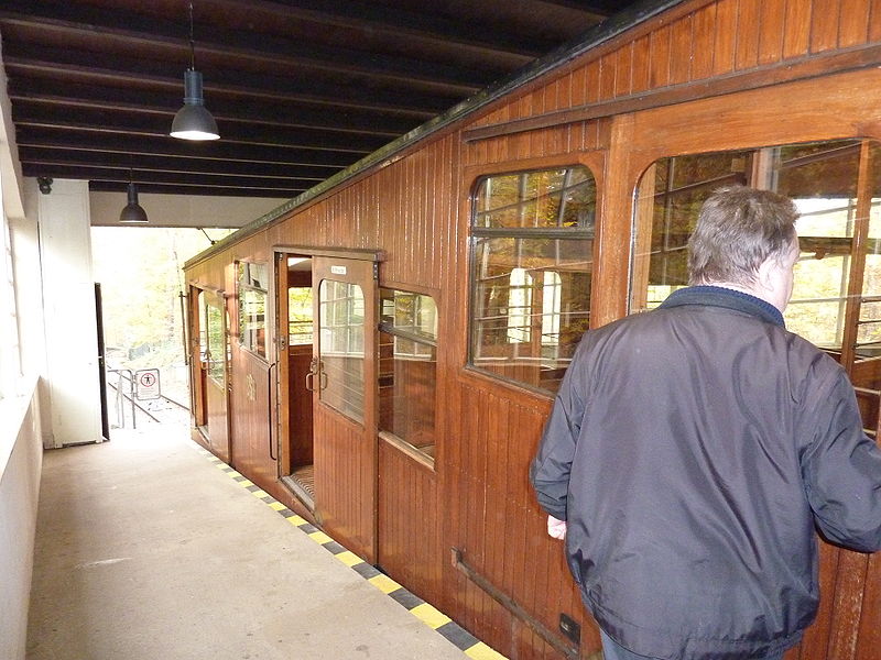
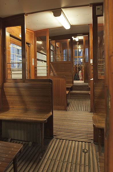
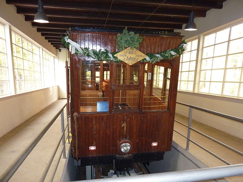
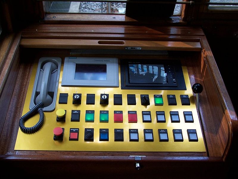
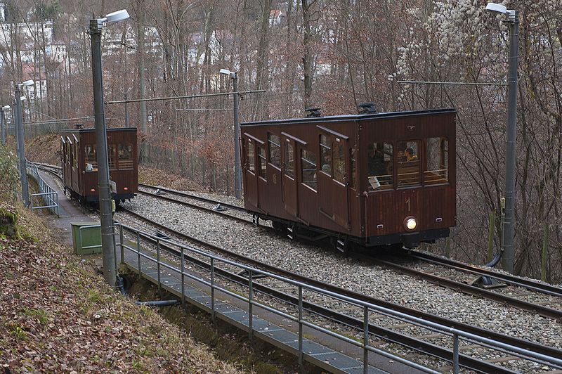
The Standseilbahn Stuttgart or Stuttgart Cable Car is a funicular railway in the city of Stuttgart, Germany. The line links the Südheimer Platz valley station with the Stuttgart Degerloch forest cemetery in the south quarters of Heslach. Operated by Stuttgarter Straßenbahnen AG, it was opened on 30 October 1929 to facilitate visitors to the forest cemetery which is located 90 metres above Stuttgart Heslach. At Südheimer Platz, the funicular connects to Stuttgart Stadtbahn lines U1 and U14. ()
Address
DegerlochStuttgart
ContactAdd
Social media
Add
Day trips
Standseilbahn Talstation – popular in the area (distance from the attraction)
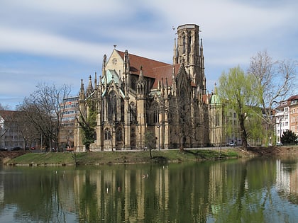
Nearby attractions include: Birkenkopf, Church of St. John, Hasenberg, Städtisches Lapidarium.
Frequently Asked Questions (FAQ)
Which popular attractions are close to Standseilbahn Talstation?
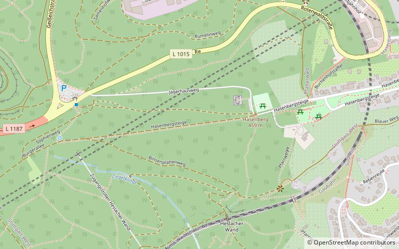
Nearby attractions include Dornhaldenfriedhof, Stuttgart (15 min walk), Hasenberg, Stuttgart (16 min walk), Birkenkopf, Stuttgart (20 min walk), Stuttgarter Hofbräu, Stuttgart (20 min walk).
How to get to Standseilbahn Talstation by public transport?
The nearest stations to Standseilbahn Talstation:
Bus
Light rail
Tram
Train
Bus
- Südheimer Platz • Lines: N1 (2 min walk)
- Heslach Vogelrain • Lines: 92, N1 (6 min walk)
Light rail
- Südheimer Platz • Lines: U1, U34, U9 (3 min walk)
- Heslach Vogelrain • Lines: U1, U9 (6 min walk)
Tram
- Pfaffenweg • Lines: 10 (31 min walk)
- Liststraße • Lines: 10 (33 min walk)
Train
- Stuttgart Schwabstraße (31 min walk)


