Hasenberg, Stuttgart
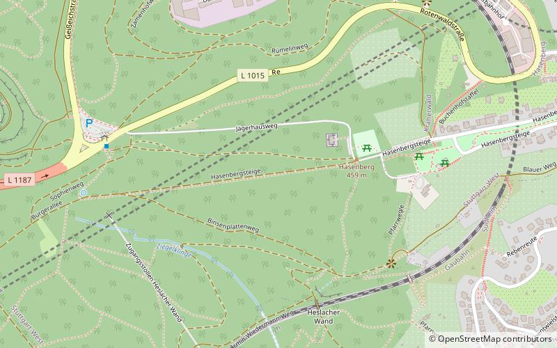
Map
Facts and practical information
Hasenberg is a mountain of Baden-Württemberg, Germany. ()
Address
Stüttgart West (Kräherwald)Stuttgart
ContactAdd
Social media
Add
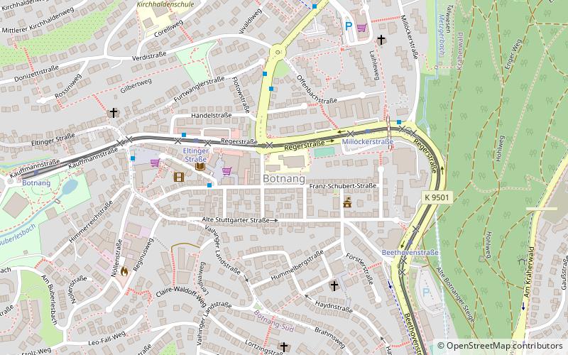
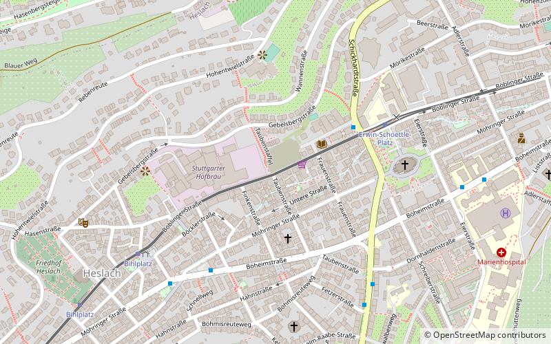
Getting there by public transportation
Public transportation stops near this location
- Bus
- Light rail
- Train
 Bus
Bus
- Calculate routeBirkenkopf 7 min walk
- Calculate routeWestbahnhof 11 min walk
- Calculate routeSüdheimer Platz 14 min walk
- Calculate routeHerderplatz 15 min walk
- Calculate routeBihlplatz 15 min walk
- Calculate routeHeslach Vogelrain 19 min walk
- Calculate routeStuttgart Schwabstraße 22 min walk
- Calculate routeStuttgart Feuersee 33 min walk
Day trips


Frequently Asked Questions (FAQ)
Which popular attractions are close to Hasenberg?
Nearby attractions include Birkenkopf, Stuttgart (10 min walk), Standseilbahn Talstation, Stuttgart (16 min walk), Stuttgarter Hofbräu, Stuttgart (19 min walk).
How to get to Hasenberg by public transport?
The nearest stations to Hasenberg:
Bus
Light rail
Train
Bus
- Birkenkopf • Lines: 92 (7 min walk)
- Westbahnhof • Lines: 44, 50, 92 (11 min walk)
Light rail
- Südheimer Platz • Lines: U1, U34, U9 (14 min walk)
- Herderplatz • Lines: U2, U29 (15 min walk)
Train
- Stuttgart Schwabstraße (22 min walk)
- Stuttgart Feuersee (33 min walk)