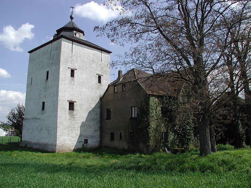
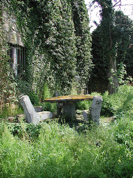
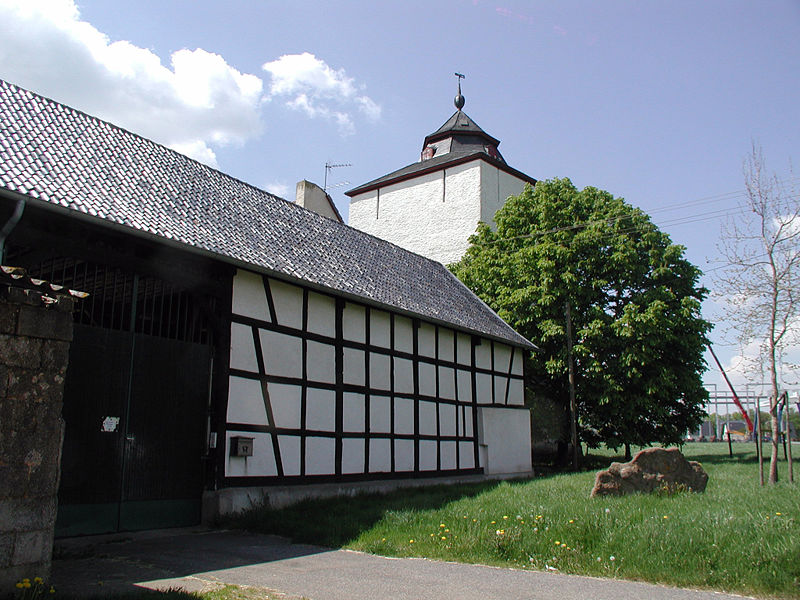
Arloff Castle
#1805 among destinations in Germany
![blank map](https://tzassets.b-cdn.net/static/img/blank-map-colors-sm.png)
![Arloff Castle](https://tzmedia.b-cdn.net/media/images/de/place/gallery/medium/6ec20e3df265d5b3b2fdb30b7787873d.jpg)
Facts and practical information
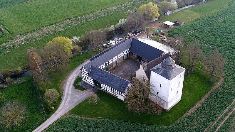
Arloff Castle is on the river Erft in the village of Arloff, part of the borough of Bad Münstereifel in the county of Euskirchen, in the German state of North Rhine-Westphalia. ()
North Rhine-WestphaliaGermany
Arloff Castle plan & book
Unleash the traveler in you — discover the cheapest flight deals, find the perfect hotel or hostel nearby, and search for the best car rental prices. Travel at your own pace to discover new places and enjoy your journey.
Arloff Castle – popular in the area (distance from the attraction)
Nearby attractions include: Michelsberg, Eifel-Therme Zikkurat, Mueller Cloth Mill, Stockert Hill.
5.8 miSNature, Natural attraction, MountainMichelsberg
147 min walk • The Michelsberg, at 586.1 m above sea level, is the highest point in the borough of Bad Münstereifel in the county of Euskirchen in the German state of North Rhine-Westphalia.
5.3 miNW 4.2 miNSpecialty museum, MuseumMueller Cloth Mill, Euskirchen
107 min walk • The Mueller Cloth Mill, located in Euskirchen, North Rhine-Westphalia, Germany is a section of the LVR Museum of Industry. The museum provides insight into the production process of a cloth mill by showing fully working machinery and equipment from around 1900.
3.3 miSWNature, Natural attraction, Specialty museumStockert Hill, Bad Münstereifel
84 min walk • The Stockert is a 435-metre-high hill which rises between Eschweiler and Holzheim in the district of Euskirchen in the borough of Bad Münstereifel, in the Eifel mountains of Germany, and west of the city of Bonn.
3.1 miSRuinsFelsennest, Bad Münstereifel
80 min walk • At the start of the Western European campaign of 1940, the Felsennest was the codename for one of Hitler's Führer Headquarters near Bad Münstereifel, Germany. It was much more cramped than Adolf Hitler's other field bunkers, having only four rooms.
2.8 miS 2.8 miSSpecialty museum, MuseumPharmacy Museum, Bad Münstereifel
71 min walk • The pharmacy museum in Bad Münstereifel displays materials from the 19th and 20th centuries in a functioning pharmacy, for example, an officina, laboratory, materials chamber, herb cabinet, herb garden, etc. The shelves date back to 1806.
2.1 miENature, Natural attraction, LakeSteinbachtalsperre
54 min walk • The Steinbachtal Dam is a dam in the city of Euskirchen, North Rhine-Westphalia south of Euskirchen-Kirchheim.
6.9 miSENature, Natural attraction, MountainHochthürmerberg
177 min walk • The Hochthürmerberg, is a hill, 499.9 m above sea level, in the Eifel region. It is situated in the county of Euskirchen in North Rhine-Westphalia near the state border with Rhineland-Palatinate in Deutschland.
3.9 miWNature, Natural attraction, MountainHerkelstein
99 min walk • The Herkelstein is a hill, 434.5 m, in the northeastern part of the der Eifel, in the German state of North Rhine-Westphalia. It forms the highest point of the Eschweiler Ridge and lies in the North Eifel Nature Park.
2.5 miSArchaeological siteAlte Burg, Bad Münstereifel
64 min walk • The Alte Burg in Bad Münstereifel, Germany, is a circular rampart that is the remains of a fortification from the Carolingian period. The refuge castle acted as a place of retreat for the local population and as protection for the daughter monastery of Prüm Abbey.