Herkelstein
Map

Map

Facts and practical information
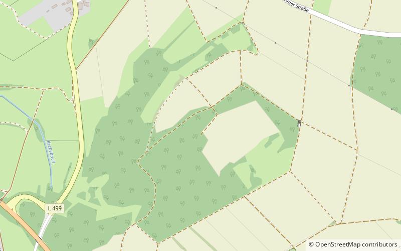
The Herkelstein is a hill, 434.5 m, in the northeastern part of the der Eifel, in the German state of North Rhine-Westphalia. It forms the highest point of the Eschweiler Ridge and lies in the North Eifel Nature Park. Geologically the region is part of the Limestone Eifel, the Herkelstein itself - like the rock formations of the Kakus Caves - is made of Devonian Limestone. It lies between the villages of Weiler am Berge and Holzheim. From the top there is a good long-distance view over the Cologne Bay. ()
Location
North Rhine-Westphalia
ContactAdd
Social media
Add
Day trips
Herkelstein – popular in the area (distance from the attraction)
Nearby attractions include: LVR-Freilichtmuseum Kommern, Schloss Eicks, Michelsberg, Eifel-Therme Zikkurat.


