Hochthürmerberg

Gallery (1)
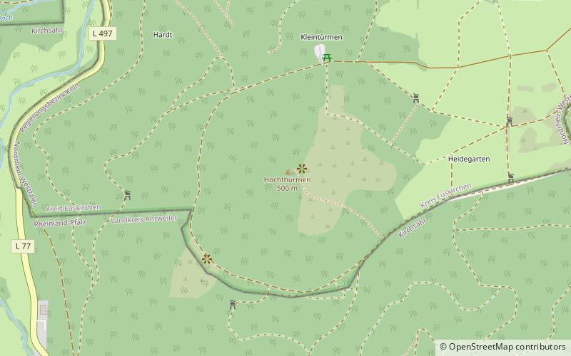
Map
Map
Facts and practical information
The Hochthürmerberg, is a hill, 499.9 m above sea level, in the Eifel region. It is situated in the county of Euskirchen in North Rhine-Westphalia near the state border with Rhineland-Palatinate in Deutschland. ()
Location
North Rhine-Westphalia
ContactAdd
Social media
Add
Day trips