Evangelische Christuskirche, Gauting
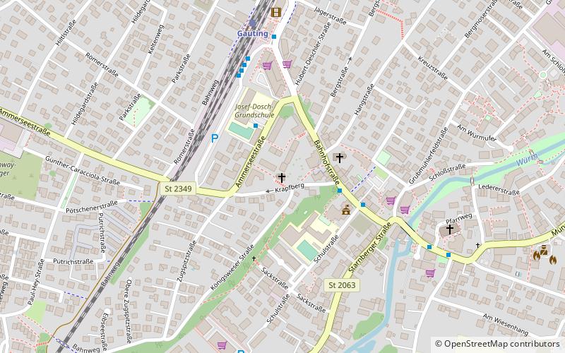
Map

Map

Facts and practical information
Christuskirche is a Lutheran church in Gauting, a municipality in the district of Starnberg. It was consecrated in 1928.
Coordinates: 48°4'3"N, 11°22'38"E
Day trips
Evangelische Christuskirche – popular in the area (distance from the attraction)
Nearby attractions include: Schloss Fußberg, Schloss Fürstenried, Waldfriedhof, St. Canisius.
Frequently Asked Questions (FAQ)
Which popular attractions are close to Evangelische Christuskirche?
Nearby attractions include Schloss Fußberg, Gauting (13 min walk), Jüdischer Friedhof Gauting, Gauting (20 min walk).


