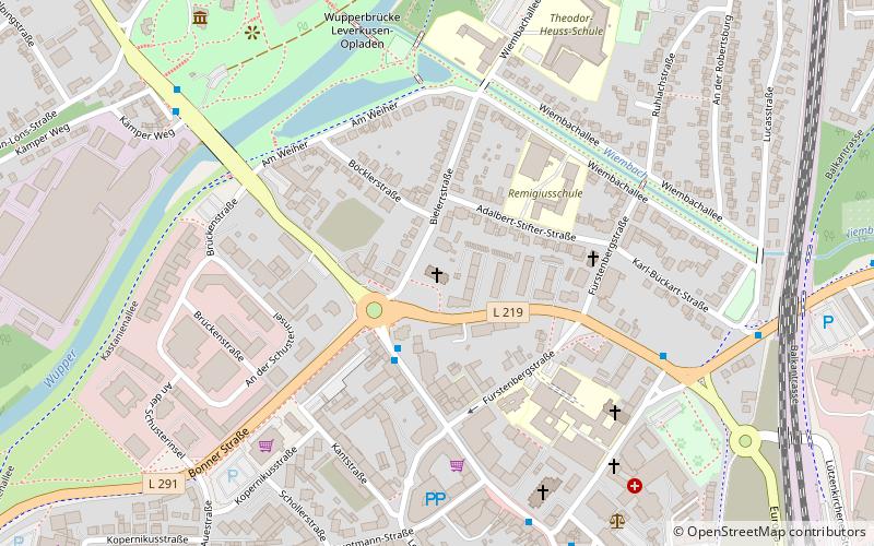
Kirche am Bielert, Leverkusen
Map

Map

Facts and practical information
The Kirche am Bielert is a Protestant house of worship in the Opladen district of Leverkusen.
Coordinates: 51°4'15"N, 7°0'4"E
Day trips
Kirche am Bielert – popular in the area (distance from the attraction)
Nearby attractions include: BayArena, Rathaus-Galerie Leverkusen, Morsbroich Museum, Freizeitbad Calevornia.
Frequently Asked Questions (FAQ)
How to get to Kirche am Bielert by public transport?
The nearest stations to Kirche am Bielert:
Bus
Train
Bus
- Berliner Platz • Lines: 250 (3 min walk)
- Gerhart-Hauptmann-Straße • Lines: 250 (6 min walk)
Train
- Opladen (13 min walk)


