St.-Philippus-Kirche, Hanover
Map

Map

Facts and practical information
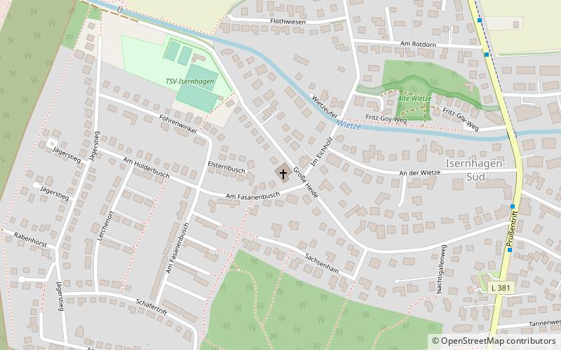
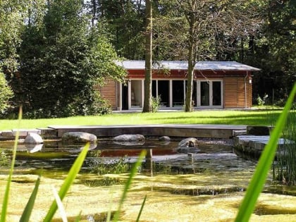
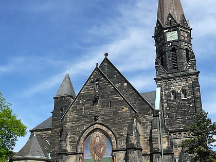
St. Philip's Lutheran Church in Hanover-Isernhagen-Süd is the church of the Isernhagen-Süd parish, which was founded in 1954.
Architectural style: ModernCoordinates: 52°26'10"N, 9°47'44"E
Address
Bothfeld-Vahrenheide (Isernhagen Süd)Hanover
ContactAdd
Social media
Add
Day trips
St.-Philippus-Kirche – popular in the area (distance from the attraction)
Nearby attractions include: Hanover Zoo, Eilenriede, Silbersee, Telemax.
Frequently Asked Questions (FAQ)
How to get to St.-Philippus-Kirche by public transport?
The nearest stations to St.-Philippus-Kirche:
Bus
Tram
Bus
- Große Heide • Lines: 620 (8 min walk)
- Am Rotdorn • Lines: 620 (9 min walk)
Tram
- Fasanenkrug • Lines: 9 (10 min walk)
- Stadtfriedhof Bothfeld • Lines: 9 (20 min walk)


