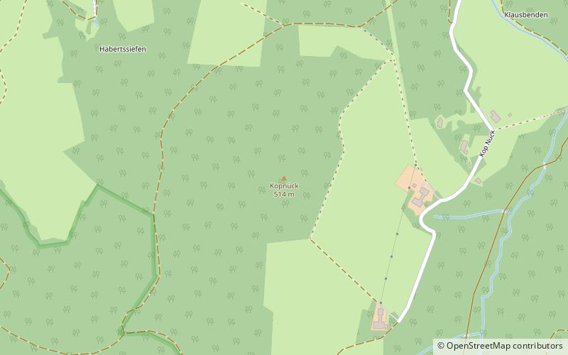
Kopnück, Bad Münstereifel
Map
Facts and practical information
The Kopnück is a hill, 514.4 m above sea level, in the northern Ahr Hills, a region within the Eifel Mountains in Germany. It rises near the village of Kop Nück in the borough of Bad Münstereifel in the German state of North Rhine-Westphalia. ()
Coordinates: 50°30'4"N, 6°47'49"E
Address
Bad Münstereifel
ContactAdd
Social media
Add
Getting there by public transportation
Public transportation stops near this location
- Bus
 Bus
Bus
- Calculate routeMahlberg Abzw. 10 min walk
- Calculate routeRömerstraße 26 min walk
Day trips


Frequently Asked Questions (FAQ)
How to get to Kopnück by public transport?
The nearest stations to Kopnück:
Bus
Bus
- Mahlberg Abzw. • Lines: 819 (10 min walk)
- Römerstraße • Lines: 819 (26 min walk)