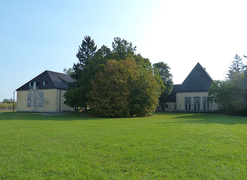
Sheridan Park, Augsburg
Map
Gallery
Facts and practical information
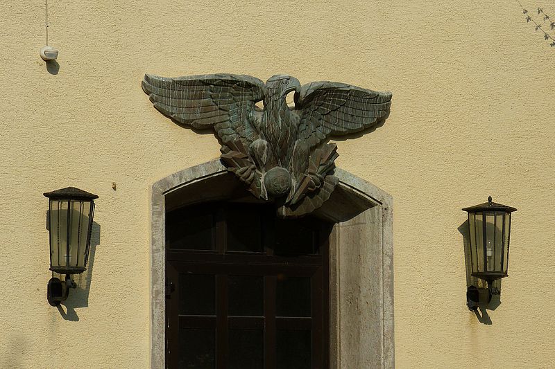
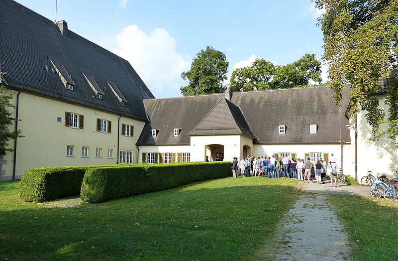
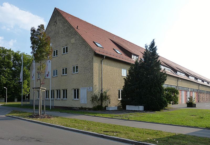
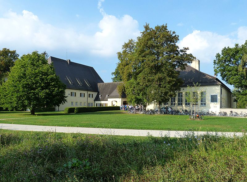
The Sheridan Barracks was a military accommodation in the Augsburg district of Pfersee. At the end of 1998, the approximately 70-hectare site was abandoned by the armed forces of the U.S. garrison Augsburg and was thus one of the conversion areas of the city of Augsburg. A development plan was developed as part of an urban planning competition and construction of the new Sheridan Park district began in 2006.
Elevation: 1598 ft a.s.l.Coordinates: 48°21'35"N, 10°51'28"E
Day trips
Sheridan Park – popular in the area (distance from the attraction)
Nearby attractions include: Rosenaustadion, Architekturmuseum Schwaben, Stadtbergen, Abraxas.
Frequently Asked Questions (FAQ)
Which popular attractions are close to Sheridan Park?
Nearby attractions include Apostelin-Junia-Kirche, Augsburg (2 min walk), Westfriedhof, Augsburg (15 min walk), Stadtbergen, Augsburg (16 min walk), Pfersee, Augsburg (18 min walk).
How to get to Sheridan Park by public transport?
The nearest stations to Sheridan Park:
Bus
Tram
Bus
- General-Cramer-Weg • Lines: 42 (6 min walk)
- Preßburger Straße • Lines: 35, 42, 91 (9 min walk)
Tram
- Bürgermeister-Bohl-Straße • Lines: 6 (10 min walk)
- Westfriedhof • Lines: 6 (11 min walk)


