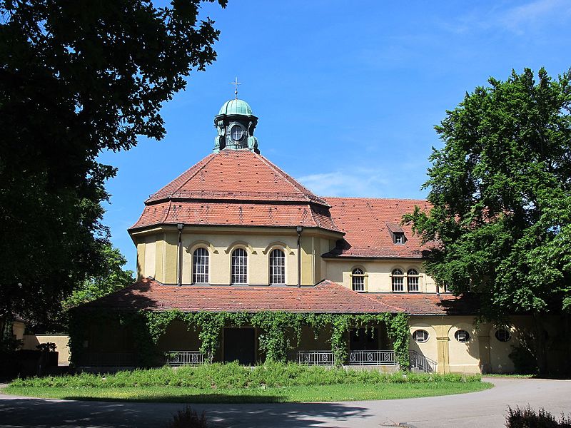
Westfriedhof, Augsburg

Gallery (3)
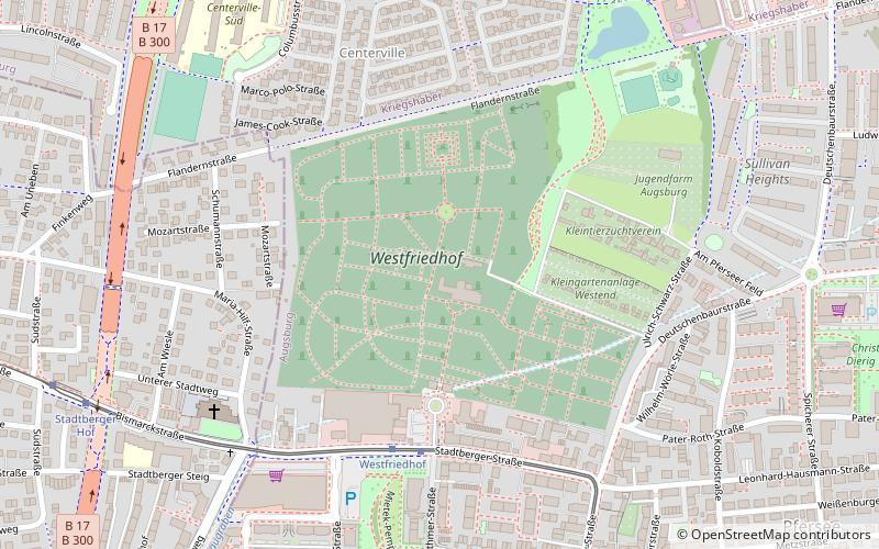
Map
Map
Gallery
Facts and practical information
Augsburg West Cemetery is located in the Pfersee district of Augsburg. It covers 17.69 hectares.
Coordinates: 48°22'4"N, 10°51'39"E
Getting there by public transportation
Public transportation stops near this location
- Bus
- Tram
- Train
 Bus
Bus
- Calculate routeWestfriedhof 5 min walk
- Calculate routeStadtberger Hof 9 min walk
- Calculate routeBürgermeister-Bohl-Straße 10 min walk
- Calculate routeBürgermeister-Ackermann-Straße 10 min walk
- Calculate routeAugsburg Dayton Ring 12 min walk
- Calculate routeFlandernstraße 13 min walk
- Calculate routeStadtbergen Schule 13 min walk
- Calculate routeAugsburg-Oberhausen 27 min walk
- Calculate routeAugsburg Hauptbahnhof 30 min walk
Day trips


Frequently Asked Questions (FAQ)
Which popular attractions are close to Westfriedhof?
Nearby attractions include Pfersee, Augsburg (9 min walk), Stadtbergen, Augsburg (13 min walk), Apostelin-Junia-Kirche, Augsburg (13 min walk), Sheridan Park, Augsburg (15 min walk).
How to get to Westfriedhof by public transport?
The nearest stations to Westfriedhof:
Tram
Bus
Train
Tram
- Westfriedhof • Lines: 6 (5 min walk)
- Stadtberger Hof • Lines: 6 (9 min walk)
Bus
- Bürgermeister-Ackermann-Straße • Lines: 32 (10 min walk)
- Augsburg Dayton Ring • Lines: 32 (12 min walk)
Train
- Augsburg-Oberhausen (27 min walk)
- Augsburg Hauptbahnhof (30 min walk)