Westerberg
Map

Map

Facts and practical information
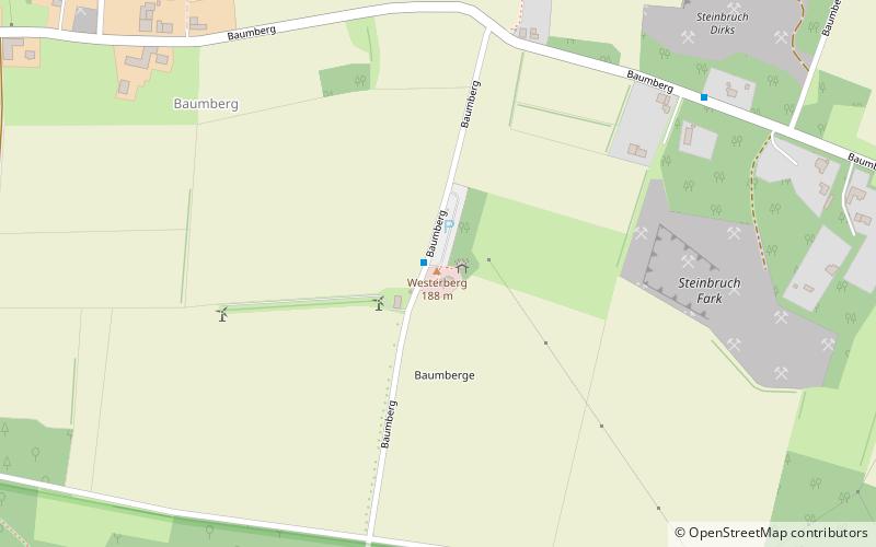
The Westerberg, also called the Westerather Berg, is, at 187.6 m above sea level, the highest elevation in the Baumberge hills and the German region of Münsterland. It is located in this small range of hills between the three villages of Billerbeck, Havixbeck, and Nottuln. ()
Location
North Rhine-Westphalia
ContactAdd
Social media
Add
Day trips
Westerberg – popular in the area (distance from the attraction)
Nearby attractions include: Abtei Gerleve, Longinusturm, Freilichtbühne Billerbeck, Kolvenburg.


