Bernhartshöhe, Stuttgart
Map

Map

Facts and practical information
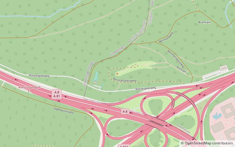
The Bernhartshöhe is a mountain of 549 m in the Vaihingen district, covering the southwesternmost part of the city of Stuttgart, capital of the German Bundesland of Baden-Württemberg. It is the city's highest point of elevation. Bernhartshöhe is directly adjacent to the crossing of the A 8 and A 81 motorways, two crucial traffic arteries of Southern Germany. ()
Address
Vaihingen (Lauchäcker)Stuttgart
ContactAdd
Social media
Add
Day trips
Bernhartshöhe – popular in the area (distance from the attraction)
Nearby attractions include: Breuningerland Shopping center, Birkenkopf, Waldklettergarten Schmellbachtal, Badezentrum Sindelfingen.
Frequently Asked Questions (FAQ)
Which popular attractions are close to Bernhartshöhe?
Nearby attractions include Vodafone-Funkturm Stuttgart-Vaihingen, Stuttgart (17 min walk), Patch Barracks, Stuttgart (23 min walk).
How to get to Bernhartshöhe by public transport?
The nearest stations to Bernhartshöhe:
Bus
Bus
- Gründgensstraße • Lines: 84 (16 min walk)
- Sindelfingen Waldheim • Lines: 84 (19 min walk)


