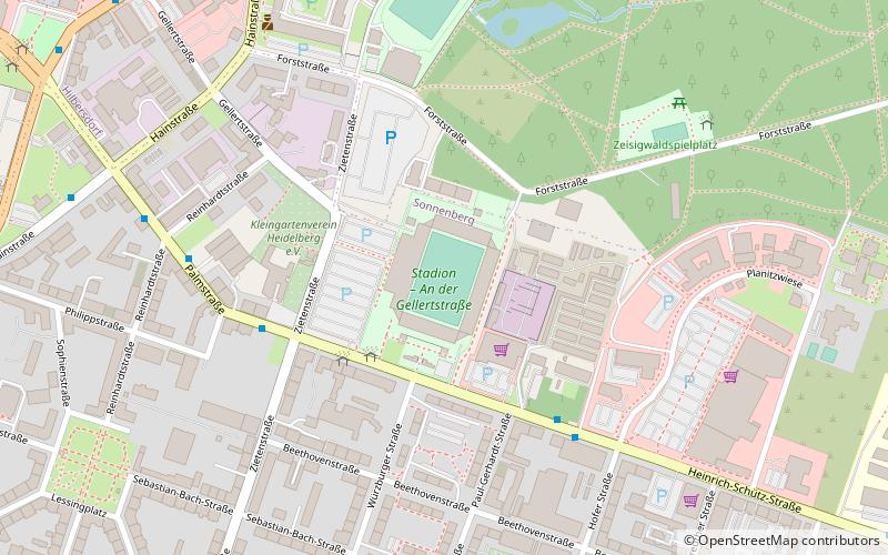
Stadion an der Gellertstraße, Chemnitz
Map

Map

Facts and practical information
Local name: Stadion - An der Gellertstraße Opened: 1934 (92 years ago)Capacity: 25 thous.Coordinates: 50°50'32"N, 12°56'44"E
Address
SonnenbergChemnitz
ContactAdd
Social media
Add
Day trips
Stadion an der Gellertstraße – popular in the area (distance from the attraction)
Nearby attractions include: Karl-Marx-Monument, Galerie Roter Turm, Stadtbad, Chemnitz petrified forest.
Frequently Asked Questions (FAQ)
Which popular attractions are close to Stadion an der Gellertstraße?
Nearby attractions include St. Markus, Chemnitz (16 min walk), Chemnitz University of Technology, Chemnitz (20 min walk), Galerie hinten, Chemnitz (22 min walk), Schillerplatz, Chemnitz (23 min walk).
How to get to Stadion an der Gellertstraße by public transport?
The nearest stations to Stadion an der Gellertstraße:
Bus
Train
Tram
Bus
- Stadion Gellertstraße • Lines: 51, N12 (3 min walk)
- CFC-Stadion • Lines: 82 (5 min walk)
Train
- Chemnitz Hauptbahnhof (18 min walk)
Tram
- Hauptbahnhof • Lines: 3, 4 (19 min walk)
- Nürnberger Straße • Lines: 5 (20 min walk)


