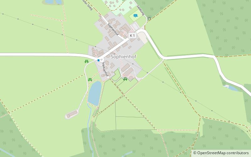
Sophienhof
#2528 among destinations in Germany

Facts and practical information
Sophienhof is a village in the municipality of Ilfeld in the district of Nordhausen in the German federal state of Thuringia. ()
ThuringiaGermany
Sophienhof plan & book
Unleash the traveler in you — discover the cheapest flight deals, find the perfect hotel or hostel nearby, and search for the best car rental prices. Travel at your own pace to discover new places and enjoy your journey.
Sophienhof – popular in the area (distance from the attraction)
Nearby attractions include: Hohnstein Castle, Sorge Border Museum, Poppenberg, Carlshaushöhe.
 Forts and castles
Hohnstein Castle
122 min walk • Hohnstein Castle, perched atop a rocky promontory in the Saxon Switzerland region of Germany, is a testament to medieval architecture and a storied past. This formidable fortress, with origins dating back to the early 12th century, has served various roles throughout...
 Museum
Sorge Border Museum
169 min walk • Nestled in the heart of Germany's Harz region, the Sorge Border Museum stands as a poignant reminder of the country's divided past. This museum, located in the small village of Sorge, offers a glimpse into the realities of life along the inner German border during the...
 Nature, Natural attraction, Hill
Poppenberg
88 min walk • The Poppenberg is a tree-covered hill east of Ilfeld in the Harz mountains of Germany, at an elevation of 601 metres. Since 1897, there has been a 33-metre-high steel lattice observation tower on the summit.
 Nature, Natural attraction, Mountain
Carlshaushöhe
43 min walk • The Carlshaushöhe is a mountain, 626.3 m, in the Harz in the German state of Saxony-Anhalt.
 Memorial
Drei-Länder-Stein
99 min walk • The Drei-Länder-Stein is a boundary stone at the tripoint of the German federal states of Lower Saxony, Saxony-Anhalt and Thuringia near the Großer Ehrenberg mountain in the Harz.
 Nature, Natural attraction, Hill
Kapitelsberg
135 min walk • The Kapitelsberg in the Harz Mountains of Germany is a hill, 535.7 m above sea level, near the village of Tanne in the county of Harz, Saxony-Anhalt.
 Nature, Natural attraction, Rock
Gänseschnabel, Ilfeld
84 min walk • The Gänseschnabel is a natural monument north of Ilfeld in Thuringia, Germany. It is a striking, free-standing rock pillar made of porphyry, which resembles the beak of a goose and from which there is a comprehensive view of the Behre valley looking towards Netzkater.
 Dam
DamTalsperre Neustadt
123 min walk • The Neustadt Dam, also known as the Nordhausen Dam, is the oldest dam in the Free State of Thuringia in Germany. It supplies drinking water to the town of Nordhausen. The dam is a curved gravity dam made of rubble stone, based on the Intze Principle.
 Nature, Natural attraction, Protected area
Ziegenberg
132 min walk • The Ziegenberg is a low ridge between the villages of Benzingerode and Heimburg on the northern edge of the Harz Mountains in central Germany. The ridge is a designated nature reserve.
 Forts and castles
Trageburg
131 min walk • The Trageburg is a ruined castle immediately next to the Rappbode Pre-Dam in the Harz Mountains of Germany. It is located near Trautenstein in the district of Harz in Saxony-Anhalt.
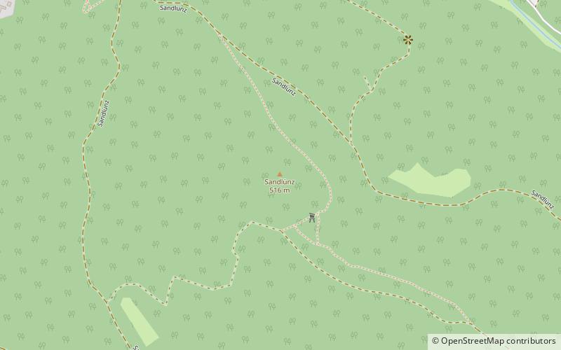 Nature, Natural attraction, Hill
Sandlünz
62 min walk • The Sandlünz is a hill in the Harz Mountains of Germany. It is 516.2 m above sea level and located near Netzkater in the county of Nordhausen in the state of Thuringia.


