Hainer See

Gallery (1)
Map
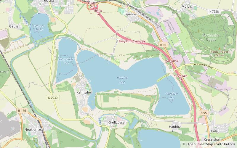
Map
Facts and practical information
Hainer See is a lake near Borna, Saxony, Germany. At an elevation of 126 m, its surface area is 4 km2. The lake is a part of the Central German Lake District. ()
Alternative names: Area: 2.1 mi²Maximum depth: 161 ftElevation: 331 ft a.s.l.Coordinates: 51°10'13"N, 12°27'27"E
Location
Saxony
ContactAdd
Social media
Add
Day trips