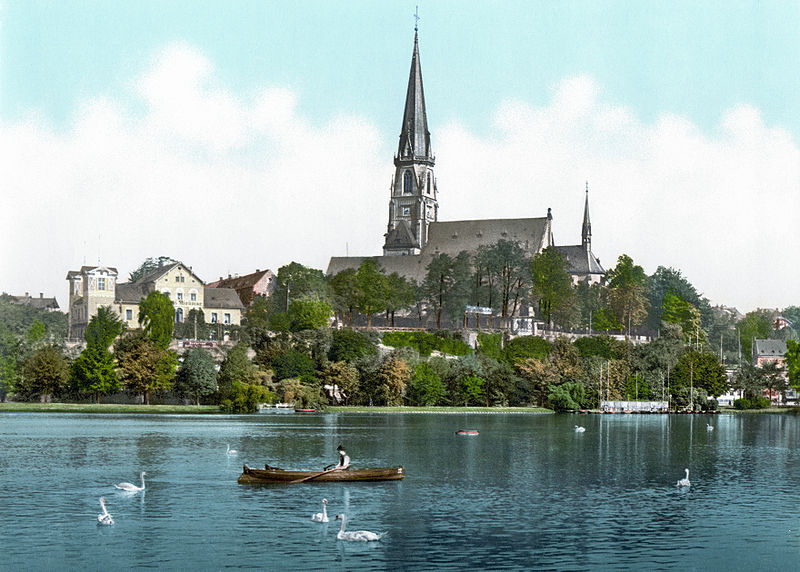
Schloßbergmuseum, Chemnitz
Map

Gallery

Facts and practical information
The Schloßbergmuseum is the museum of urban history of the city of Chemnitz. It is located in the district of Schloßchemnitz on the site of an old Benedictine monastery that Emperor Lothar III had built around 1136 on a mountain near the Chemnitz River.
Coordinates: 50°50'43"N, 12°54'54"E
Day trips
Schloßbergmuseum – popular in the area (distance from the attraction)
Nearby attractions include: Karl-Marx-Monument, Gunzenhauser Museum, Galerie Roter Turm, Stadtbad.
Frequently Asked Questions (FAQ)
Which popular attractions are close to Schloßbergmuseum?
Nearby attractions include Schlosskirche St.Marien, Chemnitz (1 min walk), Vier Tageszeiten, Chemnitz (11 min walk), Schillerplatz, Chemnitz (16 min walk), Theater Chemnitz, Chemnitz (16 min walk).
How to get to Schloßbergmuseum by public transport?
The nearest stations to Schloßbergmuseum:
Bus
Train
Tram
Bus
- Schloßberg • Lines: 79 (2 min walk)
- Schloßviertel • Lines: 79, 82, N18 (4 min walk)
Train
- Bahnhof Küchwaldwiese (8 min walk)
- Bahnbetriebswerk/Kosmonautenzentrum Hp (9 min walk)
Tram
- Omnibusbahnhof • Lines: 3, 4 (17 min walk)
- Theaterplatz • Lines: 3, 4 (19 min walk)


