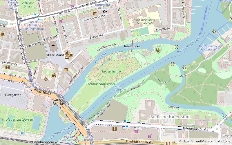
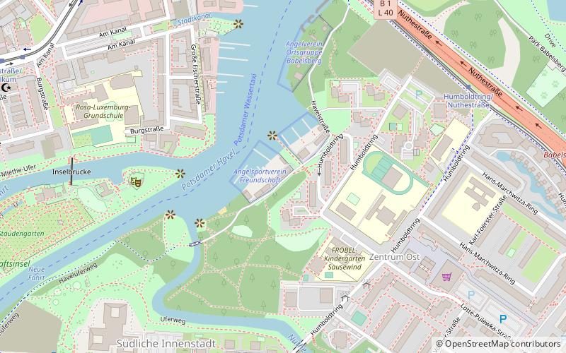
Freundschaftsinsel, Potsdam
Facts and practical information
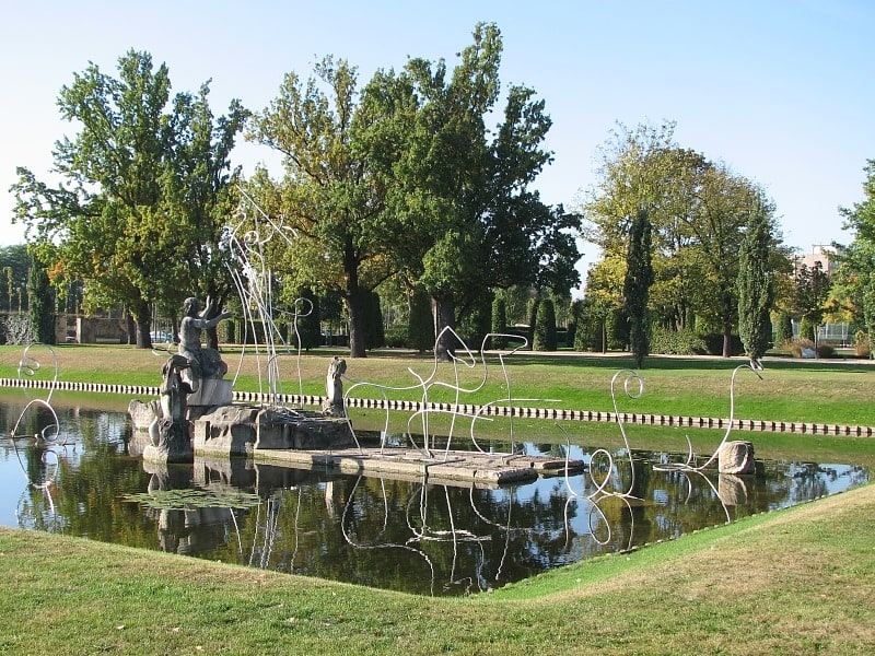
Freundschaftsinsel is a place located in Potsdam (Brandenburg state) and belongs to the category of relax in park, park.
It is situated at an altitude of 98 feet, and its geographical coordinates are 52°23'42"N latitude and 13°3'56"E longitude.
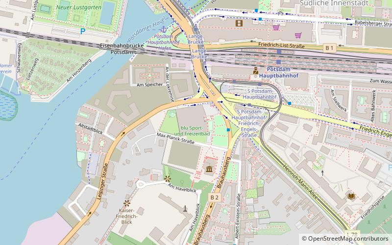
Planning a visit to this place, one can easily and conveniently get there by public transportation. Freundschaftsinsel is a short distance from the following public transport stations: S Hauptbahnhof/Nord ILB (bus, 5 min walk), Lange Brücke (tram, 6 min walk), Potsdam Hauptbahnhof - Hafen (ferry, 7 min walk), Potsdam Hauptbahnhof (train, 7 min walk).
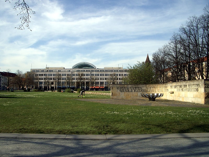
Among other places and attractions worth visiting in the area are: Neue Fahrt (sailing, 2 min walk), Museum Barberini (museum, 4 min walk), Old Town Hall (city hall, 5 min walk).
- Bus
- Tram
- Train
- Ferry
 Bus
Bus
- Calculate routeS Hauptbahnhof/Nord ILB 5 min walk
- Calculate routePlatz der Einheit/Bildungsforum 8 min walk
- Calculate routePotsdam, Busbahnhof 8 min walk
- Calculate routePlatz der Einheit/West 10 min walk
- Calculate routeLange Brücke 6 min walk
- Calculate routeBurgstraße/Klinikum 6 min walk
- Calculate routeAlter Markt/Landtag 7 min walk
- Calculate routeS Potsdam Hauptbahnhof 8 min walk
- Calculate routePotsdam Hauptbahnhof - Hafen 7 min walk
- Calculate routeSchiffbauergasse - Hans Otto Theater 20 min walk
- Calculate routeNeustädter Havelbucht - Sanssouci 24 min walk
- Calculate routeSchloß & Park Babelsberg 26 min walk
- Calculate routePotsdam Hauptbahnhof 7 min walk


Frequently Asked Questions (FAQ)
Which popular attractions are close to Freundschaftsinsel?
How to get to Freundschaftsinsel by public transport?
Bus
- S Hauptbahnhof/Nord ILB • Lines: 694, N14 (5 min walk)
- Platz der Einheit/Bildungsforum • Lines: 692, N16 (8 min walk)
Tram
- Lange Brücke • Lines: 91, 92, 93, 96, 98, 99 (6 min walk)
- Burgstraße/Klinikum • Lines: 93, 94, 99 (6 min walk)
Ferry
- Potsdam Hauptbahnhof - Hafen • Lines: Potsdamer Wassertaxi (7 min walk)
- Schiffbauergasse - Hans Otto Theater • Lines: Potsdamer Wassertaxi (20 min walk)
Train
- Potsdam Hauptbahnhof (7 min walk)