Prussian Heritage Image Archive, Berlin
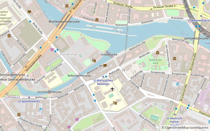
Map
Facts and practical information
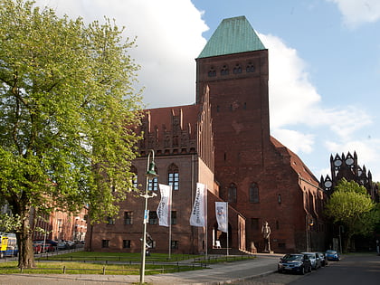
The Prussian Heritage Image Archive is an agency of the Prussian Cultural Heritage Foundation. The archive is housed at the Otto Nagel-Haus in Berlin and offers photographs, cartoons and drawings in the fields of history, culture and fine arts. The collection also contains the personal estates, archives and portfolios of many famous photographers who documented life in Germany. Organizationally, the archive is a division of the Berlin State Library. ()
Day trips
Prussian Heritage Image Archive – popular in the area (distance from the attraction)
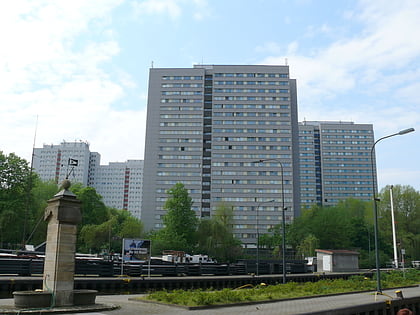
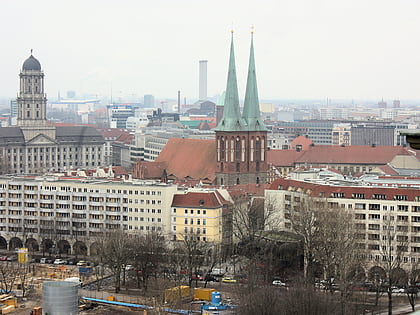
Nearby attractions include: KitKatClub, Ephraim-Palais, Rotes Rathaus, Fischerinsel.
Frequently Asked Questions (FAQ)
Which popular attractions are close to Prussian Heritage Image Archive?
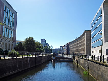
Nearby attractions include Direktorenhaus Berlin, Berlin (5 min walk), Köllnischer Park, Berlin (5 min walk), Fischerinsel, Berlin (6 min walk), Mühlendamm, Berlin (6 min walk).
How to get to Prussian Heritage Image Archive by public transport?
The nearest stations to Prussian Heritage Image Archive:
Metro
Tram
Train
Bus
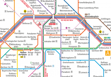
Metro
- U Märkisches Museum • Lines: U2 (1 min walk)
- U Spittelmarkt • Lines: U2 (8 min walk)
Tram
- S+U Alexanderplatz/Gontardstraße • Lines: M4, M5, M6 (15 min walk)
- Spandauer Straße/Marienkirche • Lines: M4, M5, M6 (15 min walk)
Train
- Berlin Alexanderplatz (16 min walk)
- Berlin Ostbahnhof (27 min walk)
Bus
- Alexanderplatz • Lines: 002, 057, 065, 070, 125, 1385, 170, 270, 370, N13, N1385, N232, N44, N70 (19 min walk)
 Metro
Metro


