Botnang, Stuttgart
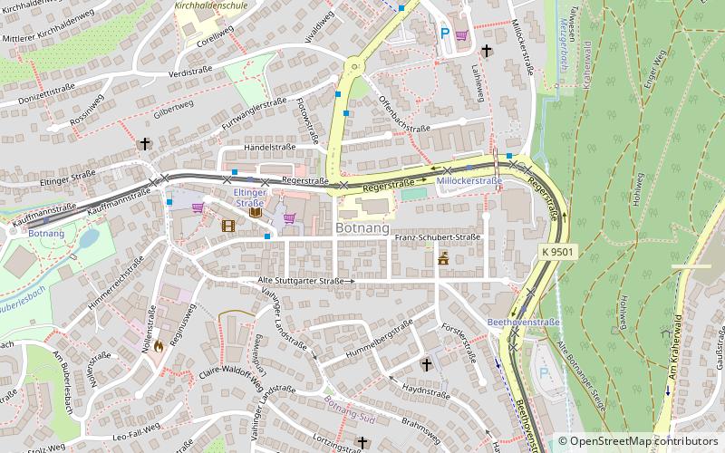
Map
Facts and practical information
Botnang is a borough of the City of Stuttgart and lies between Feuerbach, Stuttgart-West and Vaihingen. ()
Getting there by public transportation
Public transportation stops near this location
- Bus
- Light rail
 Bus
Bus
- Calculate routeHändelstraße 4 min walk
- Calculate routeEltinger Straße 4 min walk
- Calculate routeMillöckerstraße 5 min walk
- Calculate routeMillöckerstraße 4 min walk
- Calculate routeEltinger Straße 4 min walk
- Calculate routeBeethovenstraße 5 min walk
- Calculate routeBotnang 9 min walk
Day trips


Frequently Asked Questions (FAQ)
How to get to Botnang by public transport?
The nearest stations to Botnang:
Bus
Light rail
Bus
- Händelstraße • Lines: 91 (4 min walk)
- Eltinger Straße • Lines: 91, N2 (4 min walk)
Light rail
- Millöckerstraße • Lines: U2, U29 (4 min walk)
- Eltinger Straße • Lines: U2, U29 (4 min walk)