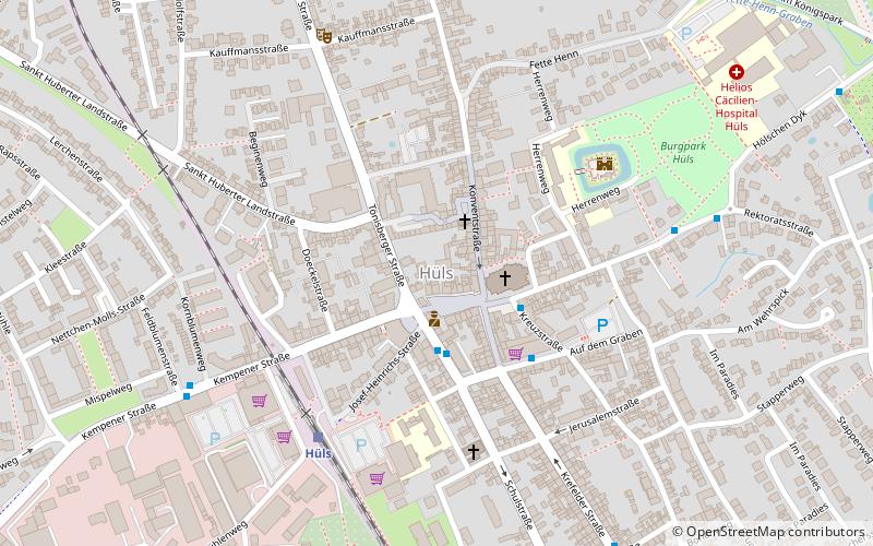
Hüls, Krefeld
Map
Facts and practical information
Hüls is the most northerly district of Krefeld, North Rhine-Westphalia, Germany. Formerly an independent municipality, Hüls has been part of the city Krefeld since 1975. It was the site of damask and velvet manufacturing. Including the small district Hülserberg, it covers 26.08 km2 and has 16,378 inhabitants. ()
Address
Hüls (Hüls-Ortskern)Krefeld
ContactAdd
Social media
Add
Getting there by public transportation
Public transportation stops near this location
- Bus
- Tram
- Train
 Bus
Bus
- Calculate routeHülser Markt 2 min walk
- Calculate routeRektoratsstraße 6 min walk
- Calculate routeFeldblumenstraße 6 min walk
- Calculate routeHüls 5 min walk
- Calculate routeHüls Betriebshof 9 min walk
- Calculate routeSteeger Dyk 14 min walk
- Calculate routeAm Schützenhof 20 min walk
- Calculate routeKützhofweg 30 min walk
Day trips


Frequently Asked Questions (FAQ)
How to get to Hüls by public transport?
The nearest stations to Hüls:
Bus
Train
Tram
Bus
- Hülser Markt • Lines: 045, 049, 076, 077, 079 (2 min walk)
- Rektoratsstraße • Lines: 045, 049 (6 min walk)
Train
- Hüls (5 min walk)
Tram
- Hüls Betriebshof • Lines: 044 (9 min walk)
- Steeger Dyk • Lines: 044 (14 min walk)