Theodul Pass

Gallery (1)
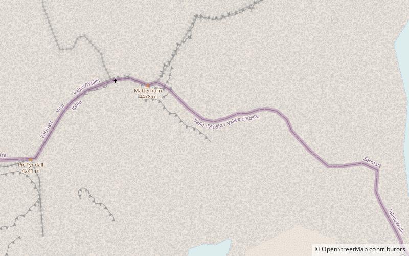
Map
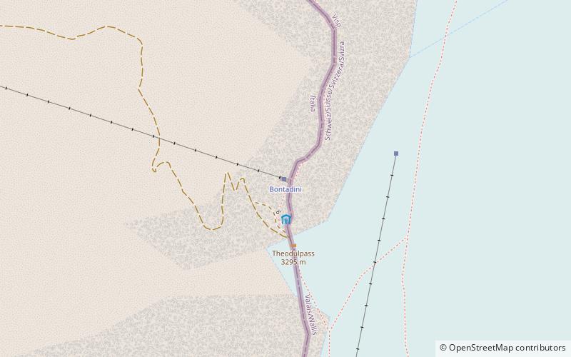
Map
Facts and practical information
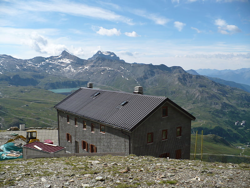
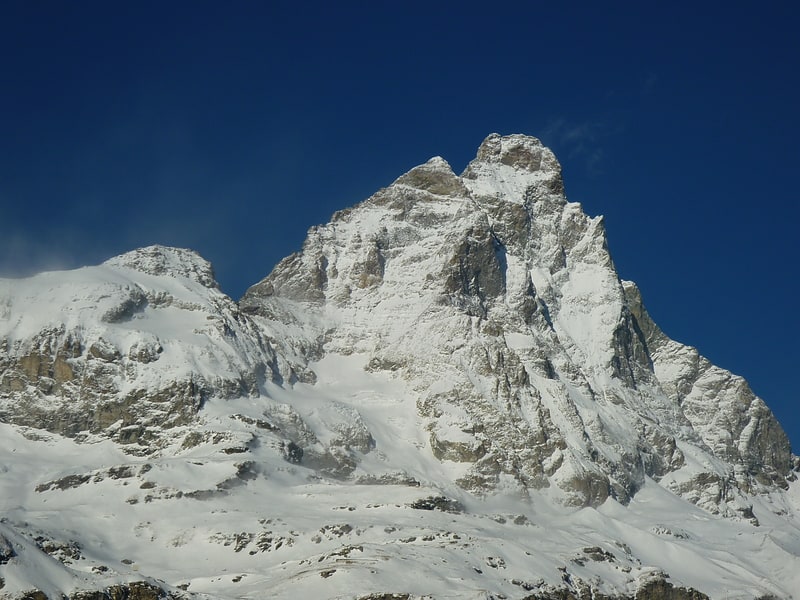
Theodul Pass, elevation 3,295 metres, is a high mountain pass across the eastern Pennine Alps, connecting Zermatt in the Swiss canton of Valais and Breuil-Cervinia in the Italian region of Aosta Valley. Theodul Pass is the lowest and the easiest pass between the valleys of Zermatt and Valtournanche. ()
Location
Aosta Valley
ContactAdd
Social media
Add
Day trips