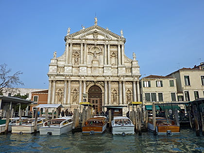
Chiesa del Nome di Gesù, Venice
Facts and practical information
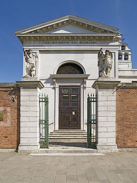
Chiesa del Nome di Gesù is a place located in Venice (Veneto region) and belongs to the category of church.
It is situated at an altitude of 13 feet, and its geographical coordinates are 45°26'21"N latitude and 12°19'0"E longitude.
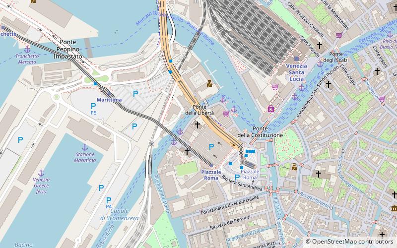
Planning a visit to this place, one can easily and conveniently get there by public transportation. Chiesa del Nome di Gesù is a short distance from the following public transport stations: Piazzale Roma Santa Andrea B (ferry, 2 min walk), Piazzale Roma (train, 3 min walk), Venezia A8 (bus, 3 min walk), Piazzale Roma (tram, 4 min walk).
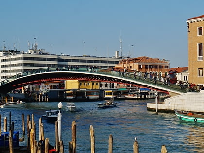
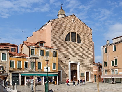
Among other places and attractions worth visiting in the area are: Sant'Andrea della Zirada (church, 2 min walk), Ponte della Costituzione (bridge, 4 min walk), Giardini Papadopoli (garden, 6 min walk).
Santa CroceVenice
Chiesa del Nome di Gesù – popular in the area (distance from the attraction)
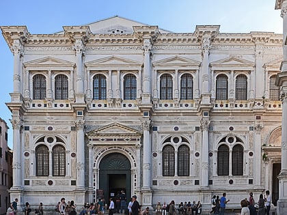
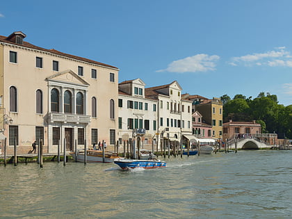
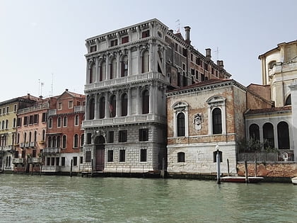
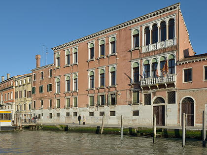
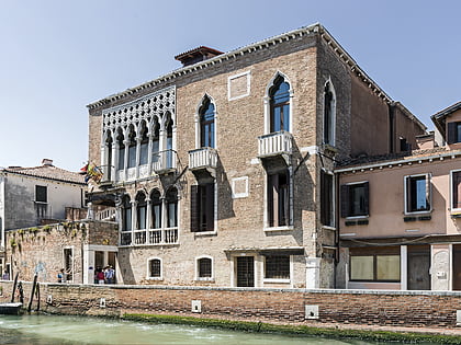
Nearby attractions include: Palazzo Adoldo, Palazzo Soranzo Cappello, Ponte degli Scalzi, Scuola Grande di San Rocco.
Frequently Asked Questions (FAQ)
Which popular attractions are close to Chiesa del Nome di Gesù?
How to get to Chiesa del Nome di Gesù by public transport?
Ferry
- Piazzale Roma Santa Andrea B • Lines: 6 (2 min walk)
- Piazzale Roma Scomenzera C • Lines: 1, 1/ (2 min walk)
Train
- Piazzale Roma (3 min walk)
- Marittima (6 min walk)
Bus
- Venezia A8 • Lines: 12L, 43 (3 min walk)
- Venezia A5 • Lines: 2 (3 min walk)
Tram
- Piazzale Roma • Lines: T1 (4 min walk)


