Cima Tosa, Dolomites
Map

Map

Facts and practical information
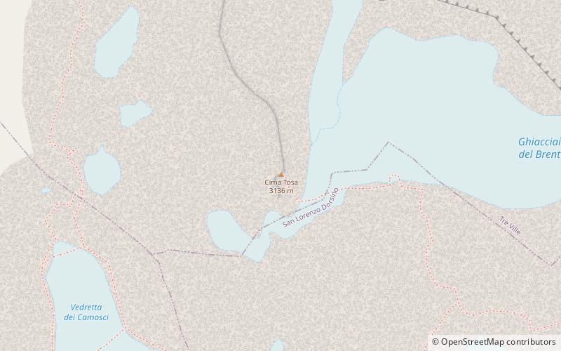
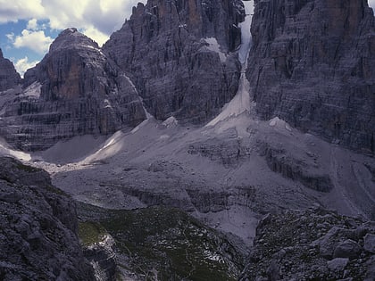
Cima Tosa is a mountain in the Brenta group, a subgroup of the Rhaetian Alps in the Italian Region of Trentino-Alto Adige, with a reported height of 3,136 metres. it is the second highest peak of the Brenta group in the southern limestone Alps after the Cima Brenta. ()
Alternative names: First ascent: 1865Elevation: 10410 ftProminence: 4990 ftCoordinates: 46°9'23"N, 10°52'16"E
Address
Dolomites
ContactAdd
Social media
Add
Day trips
Cima Tosa – popular in the area (distance from the attraction)
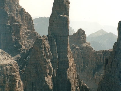
Nearby attractions include: Campanile Basso, Crozzon di Brenta, Brenta, Campanile Alto.
Frequently Asked Questions (FAQ)
Which popular attractions are close to Cima Tosa?
Nearby attractions include Brenta, Dolomites (2 min walk), Crozzon di Brenta, Dolomites (10 min walk).


