Gulf of Pozzuoli, Pozzuoli
Map

Map

Facts and practical information
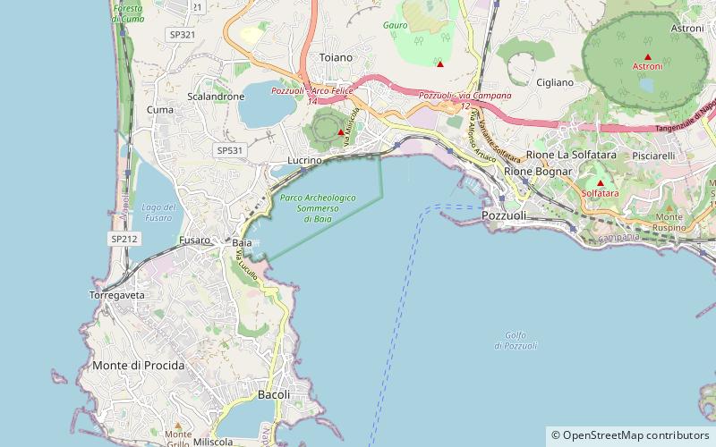
The Gulf of Pozzuoli, formerly known as the Gulf of Puteoli, is a large bay or small gulf in the northwestern end of the Gulf of Naples in the Tyrrhenian Sea. It lies west of Naples and is named for its port of Pozzuoli. The Roman Sinus Baianus was located within it, near the resort town of Baiae. ()
Address
Pozzuoli
ContactAdd
Social media
Add
Day trips
Gulf of Pozzuoli – popular in the area (distance from the attraction)
Nearby attractions include: Monte Nuovo, Lake Avernus, Lucrinus Lacus, Fortino Tenaglia Lighthouse.
Frequently Asked Questions (FAQ)
Which popular attractions are close to Gulf of Pozzuoli?
Nearby attractions include Parco Archeologico Sommerso di Baia, Pozzuoli (13 min walk), Fortino Tenaglia Lighthouse, Bacoli (23 min walk), Lucrinus Lacus, Pozzuoli (23 min walk).
How to get to Gulf of Pozzuoli by public transport?
The nearest stations to Gulf of Pozzuoli:
Train
Bus
Train
- Lucrino (20 min walk)
- Arco Felice (23 min walk)
Bus
- Via R. Annecchino - Civico N° 256 • Lines: P12R (22 min walk)
- Via Campi Flegrei - Scuola Guida • Lines: P12R, P2 (24 min walk)


