Grohmannspitze

Gallery (1)
Map
Map
Facts and practical information
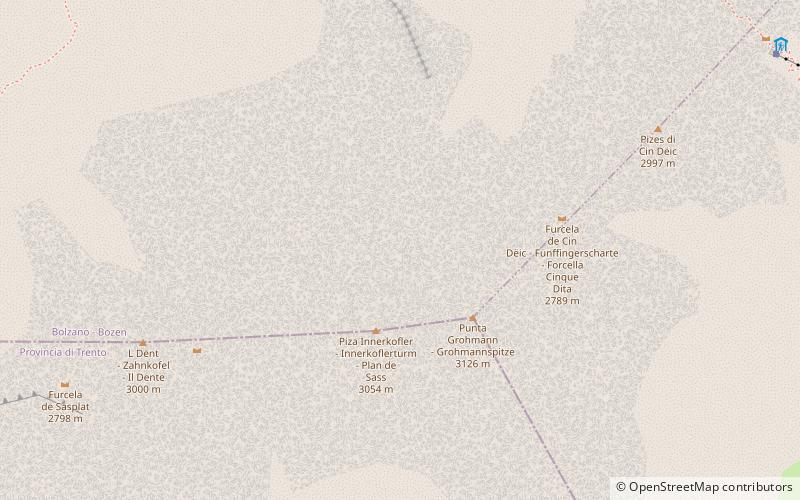
Local name: Punta Grohmann First ascent: 1880Elevation: 10256 ftProminence: 1457 ftCoordinates: 46°30'42"N, 11°43'53"E
Location
Trentino-South Tyrol
ContactAdd
Social media
Add
Day trips


