Langkofel

Gallery (2)
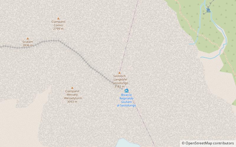
Map
Map
Gallery
Facts and practical information
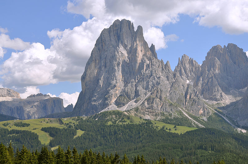
The Saslonch, Sassolungo or Langkofel is the highest mountain of the Langkofel Group in the Dolomites in South Tyrol, Italy. The name translates to "long peak" / "long rock" in all three languages. It stands over the Ladin community of Val Gardena. ()
Local name: Sassolungo First ascent: 1869Elevation: 10436 ftProminence: 3688 ftCoordinates: 46°31'30"N, 11°44'7"E
Location
Trentino-South Tyrol
ContactAdd
Social media
Add
Day trips


