Laghetto di Terra Nera, Porto Azzurro
#1 among attractions in Porto Azzurro
![Laghetto di Terra Nera location map](https://tzmedia.b-cdn.net/media/images/static-maps/it/42_7743_10_4199.jpg)
Facts and practical information
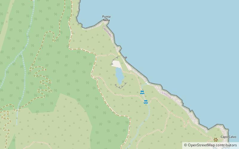
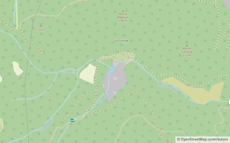
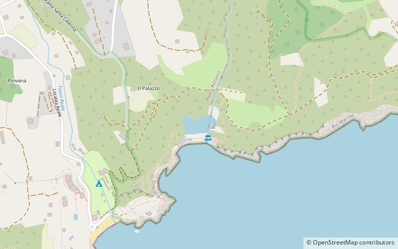
Laghetto di Terra Nera is a lake in the Province of Livorno, Tuscany, Italy. ()
Porto Azzurro Italy
Porto Azzurro plan & book
Unleash the traveler in you — discover the cheapest flight deals, find the perfect hotel or hostel nearby, and search for the best car rental prices. Travel at your own pace to discover new places and enjoy your journey.
Laghetto di Terra Nera – popular in the area (distance from the attraction)
Nearby attractions include: Forte Focardo, Portoferraio Lighthouse, Monte Calamita, Laghetto di Sassi Neri.
1.5 miSForts and castlesForte Focardo, Elba
38 min walk • Capo Focardo Lighthouse is an active lighthouse located at the south eastern tip of the gulf of Porto Azzurro on the island of Elba in the Tuscan Archipelago.
5.2 miNWLighthouse, Vernacular architecturePortoferraio Lighthouse, Elba
134 min walk • Portoferraio lighthouse, called Faro del Forte Stella Lighthouse since is placed on the northern rampart of Forte Stella built in 1548 by Cosimo I de' Medici in Portoferraio, Elba.
3.3 miSNature, Natural attraction, MountainMonte Calamita, Elba
83 min walk • Calamita is a large hill lying on the south-east side of the island of Elba, known for a remarkable landscape and views of Portoferraio and Monte Capanne.
2.6 miSNature, Natural attraction, LakeLaghetto di Sassi Neri, Elba
66 min walk • Laghetto di Sassi Neri is a lake in the Province of Livorno, Tuscany, Italy.
5.3 miNW42°49'0"N • 10°19'56"EMuseo Nazionale delle Residenze Napoleoniche, Portoferraio
136 min walk • History museum, Museum
3.9 miSWLandmark peak with hiking and a cablecarMount Capanne
100 min walk • Mount Capanne is the highest mountain on the Italian island of Elba and in the province of Livorno, Tuscany, Italy. It is located in the western part of the island, reaching a height of 1,019 metres in elevation above the Mediterranean Sea.
3.1 miNBotanical gardenOrto dei Semplici Elbano, Rio nell'Elba
79 min walk • The Orto dei Semplici Elbano is a botanical garden located at 160 meters elevation next to the Eremo di Santa Caterina in Rio nell'Elba on the island of Elba, Province of Livorno, Italy.
3.7 miSW42°43'57"N • 10°22'28"EAquanautic Elba, Capoliveri
95 min walk • Scuba and snorkeling, Gear rental, Outdoor activities
2.7 miNWForts and castlesCastello del Volterraio, Rio nell'Elba
69 min walk • Volterraio Fortress, also known as Volterraio Castle, is a coastal fortification located in the municipal territory of Portoferraio on the island of Elba, at an altitude of 394 m.
2.9 miNLighthouseFaro di Rio Marina, Rio Marina
76 min walk • The Rio Marina Lighthouse is a decommissioned Piombino Channel maritime lighthouse that was located along the outer quay of the port of Rio Marina, along the east coast of the island of Elba.
4.5 miNNature, Natural attraction, LakeLaghetto delle Conche, Elba
114 min walk • Laghetto delle Conche is a lake on the island of Elba, Italy. The island is part of the Province of Livorno, Tuscany.