Giardini Reali, Turin
Map
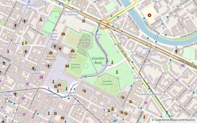
Map

Facts and practical information
The Royal Gardens of Turin are green areas located behind the Royal Palace, the Government Palace and the Royal Armory, in the historic center of Turin, between Piazza Castello and Corso San Maurizio; the lower part of the gardens is public. The green areas are crossed by I Maggio and Partigiani avenues, at the confluence of which the Carabiniere monument was erected in 1933, later declared an Italian national monument.
Elevation: 778 ft a.s.l.Coordinates: 45°4'21"N, 7°41'21"E
Day trips
Giardini Reali – popular in the area (distance from the attraction)
Nearby attractions include: Royal Palace of Turin, National Museum of Cinema, Mole Antonelliana, Residences of the Royal House of Savoy.
Frequently Asked Questions (FAQ)
Which popular attractions are close to Giardini Reali?
Nearby attractions include Carabiniere Reale, Turin (2 min walk), Armeria Reale, Turin (4 min walk), Teatro Regio, Turin (4 min walk), Royal Library of Turin, Turin (4 min walk).
How to get to Giardini Reali by public transport?
The nearest stations to Giardini Reali:
Tram
Bus
Metro
Train
Tram
- Partigiani • Lines: 7 (1 min walk)
- Giardini Reali • Lines: 16, 3, 7 (5 min walk)
Bus
- Rossini • Lines: (N) 68v (4 min walk)
- Giardini Reali - 205 • Lines: 18, N57 (4 min walk)
Metro
- Porta Nuova • Lines: M1 (22 min walk)
- Re Umberto • Lines: M1 (24 min walk)
Train
- Torino Porta Nuova (25 min walk)
- Torino Porta Susa (30 min walk)

