Parco Savello, Rome
Map
Gallery
Facts and practical information
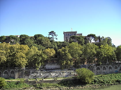
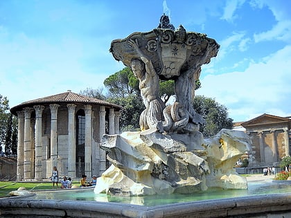
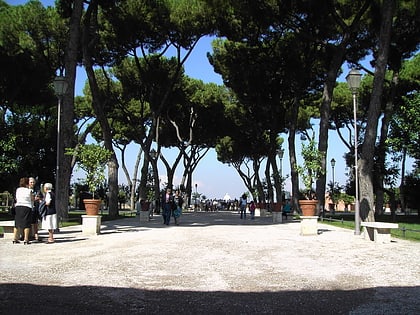
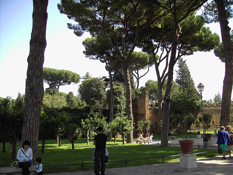
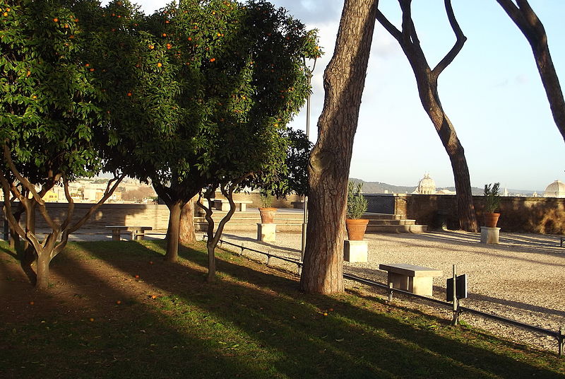
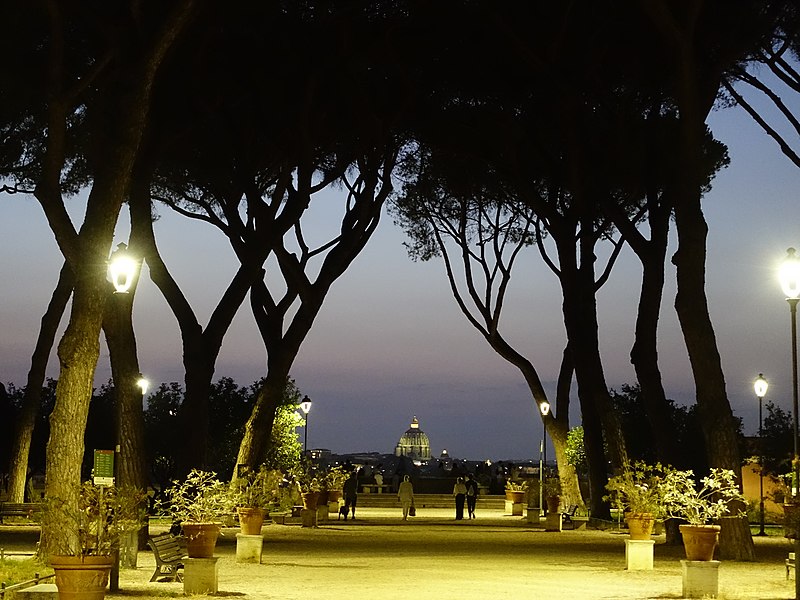
The Orange Trees Garden is the name used in Rome to describe the Parco Savello. It is about 7,800 square meters and is located on the Aventine Hill. The park offers an excellent view of the city. The garden, as it is today, was designed in 1932 by Raffaele De Vico. It was constructed to offer public access to the view from the side of the hill, creating a new ‘’belvedere’’, to be added to the existing viewpoints in Rome from the Pincian Hill and the Janiculum. ()
Day trips
Parco Savello – popular in the area (distance from the attraction)
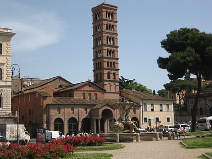
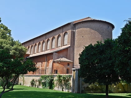
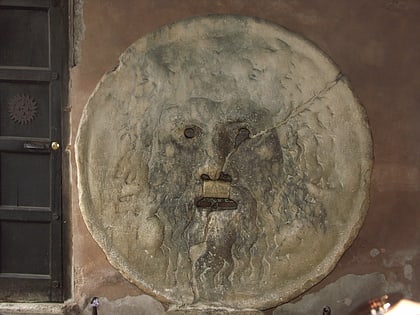
Nearby attractions include: Theatre of Marcellus, Santa Maria in Cosmedin, Santa Sabina, Bocca della Verità.
Frequently Asked Questions (FAQ)
Which popular attractions are close to Parco Savello?
Nearby attractions include Santa Sabina, Rome (2 min walk), Lungotevere Aventino, Rome (2 min walk), Ripa, Rome (3 min walk), Santi Bonifacio ed Alessio, Rome (4 min walk).
How to get to Parco Savello by public transport?
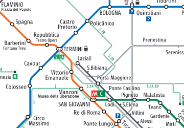
The nearest stations to Parco Savello:
Bus
Tram
Ferry
Metro
Light rail
Train
Bus
- Lgt Ripa/Porto • Lines: 23, 280, 44, 44F, n11, n19 (4 min walk)
- Lgt Aventino • Lines: 23, 280, n10 (4 min walk)
Tram
- Emporio • Lines: 8 (7 min walk)
- Marmorata/Vanvitelli • Lines: 8 (9 min walk)
Ferry
- Isola Tiberina • Lines: Battelli di Roma (11 min walk)
- Sant'Angelo • Lines: Battelli di Roma (33 min walk)
Metro
- Circo Massimo • Lines: B (12 min walk)
- Colosseo • Lines: B (19 min walk)
Light rail
- Roma Porta San Paolo • Lines: Fc2 (18 min walk)
- Roma Termini • Lines: Fl6, Fl7 (40 min walk)
Train
- Roma Trastevere (30 min walk)
- Quattro Venti (31 min walk)


 Metro / Tram / Rail
