Monte della Scindarella, Gran Sasso e Monti della Laga National Park

Gallery (2)
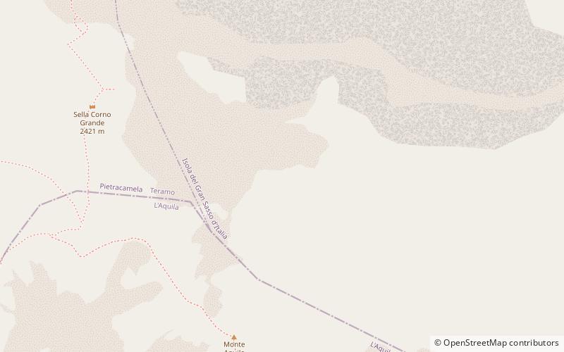
Map
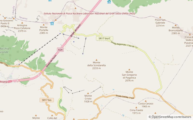
Map
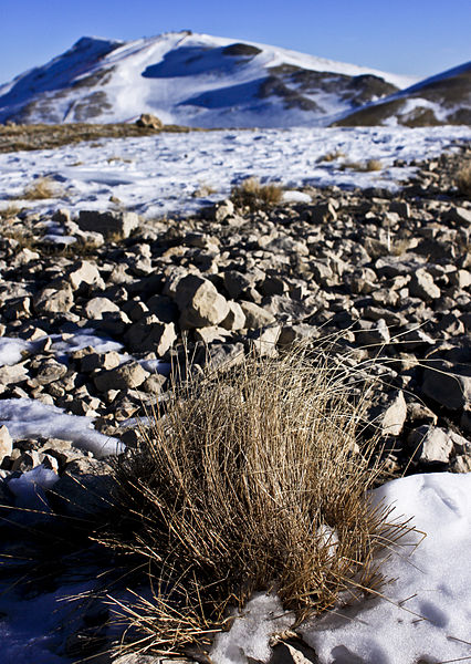
Gallery
Facts and practical information
Mount Scindarella is a peak in the Abruzzo Apennines, located at an altitude of 2 237 meters above sea level in the southwestern ridge of the Gran Sasso d'Italia massif, within the municipal territory of L'Aquila.
Address
Gran Sasso e Monti della Laga National Park
ContactAdd
Social media
Add
Day trips