San Pantaleo, Rome
Map

Map

Facts and practical information
San Pantaleo is an ancient church located on a piazza of the same name along Corso Vittorio Emanuele II in the Parione neighborhood of Rome, Italy. It shares the Piazza with the Museo di Roma in Palazzo Braschi. A church at the site dates from the 12th-century, but the present facade is in a Neoclassical style and the interiors were elaborated in a Baroque style. ()
Day trips
San Pantaleo – popular in the area (distance from the attraction)
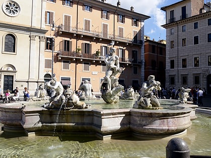
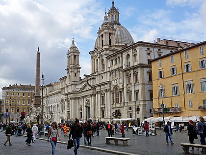
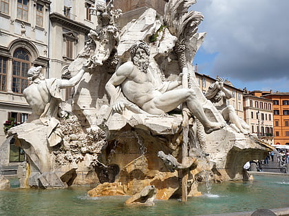
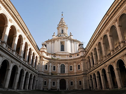
Nearby attractions include: Piazza Navona, Fontana del Moro, Sant'Agnese in Agone, Campo de' Fiori.
Frequently Asked Questions (FAQ)
Which popular attractions are close to San Pantaleo?
Nearby attractions include Domiziano, Rome (1 min walk), Palazzo Braschi, Rome (1 min walk), Museo Barracco, Rome (1 min walk), Palazzo Massimo alle Colonne, Rome (1 min walk).
How to get to San Pantaleo by public transport?
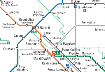
The nearest stations to San Pantaleo:
Bus
Tram
Ferry
Metro
Train
Light rail
Bus
- C.so Vittorio Emanuele/S. A. della Valle • Lines: 46, 62, 64, 916, 916F, n15, n20, n5 (2 min walk)
- Rinascimento • Lines: 130F, 30, 492, 628, 70, 81, 87, C3, n6, n7 (2 min walk)
Tram
- Arenula/Cairoli • Lines: 8 (7 min walk)
- Venezia • Lines: 8 (11 min walk)
Ferry
- Sant'Angelo • Lines: Battelli di Roma (11 min walk)
- Isola Tiberina • Lines: Battelli di Roma (13 min walk)
Metro
- Spagna • Lines: A (23 min walk)
- Barberini • Lines: A (24 min walk)
Train
- Roma San Pietro (25 min walk)
- Vatican City (30 min walk)
Light rail
- Flaminio • Lines: Fc3 (29 min walk)

 Metro / Tram / Rail
