Appian Way Regional Park, Rome
Map
Gallery
Facts and practical information
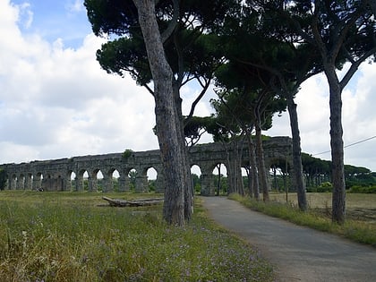
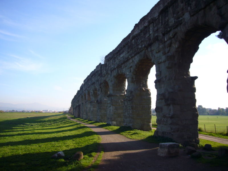
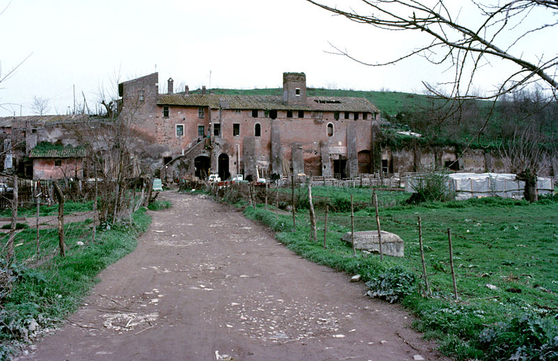
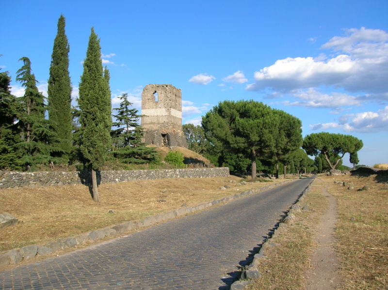
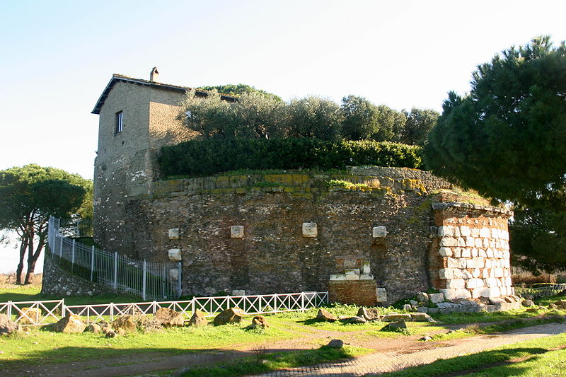
The Appian Way Regional Park is the second-largest urban park of Europe, after Losiny Ostrov National Park in Moscow. It is a protected area of around 4580 hectares, established by the Italian region of Latium. It falls primarily within the territory of Rome but parts also extend into the neighbouring towns of Ciampino and Marino. ()
Day trips
Appian Way Regional Park – popular in the area (distance from the attraction)
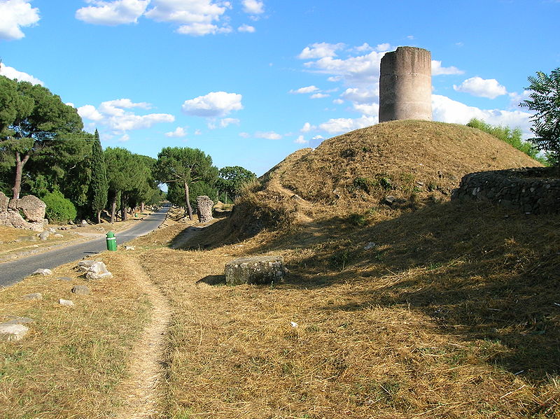
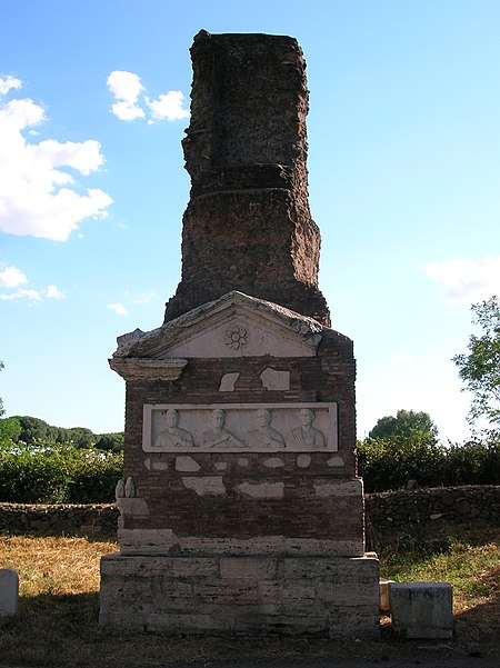
Nearby attractions include: Villa dei Quintili, Parco degli Acquedotti, Casal Rotondo, Tomb of Hilarus Fuscus.
Frequently Asked Questions (FAQ)
Which popular attractions are close to Appian Way Regional Park?
Nearby attractions include Villa dei Quintili, Rome (9 min walk), Casal Rotondo, Rome (19 min walk), Tomb of Hilarus Fuscus, Rome (22 min walk).
How to get to Appian Way Regional Park by public transport?
The nearest stations to Appian Way Regional Park:
Bus
Bus
- Tor Carbone/Appia Antica • Lines: 765, C11 (14 min walk)
- Appia/Squillace • Lines: 118, 654, 664, C11, n26 (14 min walk)



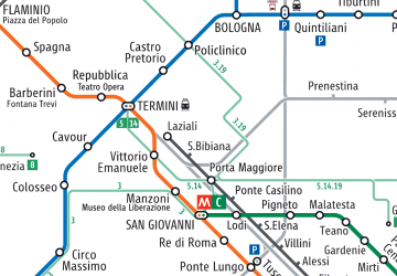 Metro / Tram / Rail
