Quarto Miglio, Rome
Map
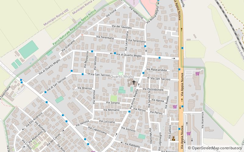
Map

Facts and practical information
Quarto Miglio is an urban zone of Municipio VII of Rome, Italy. It was located in the south-eastern area of the city. As of 2010 it had a population of 11,052 people. It takes its name from its proximity to the 4th Mile of the Appian Way, which borders it to the southwest, and is close to much of the Appian Way Regional Park. Many of its street names come from ancient Romans connected with the area, including Herodes Atticus and Annia Regilla. In Roman times the area was known as "ad Quartum". ()
Address
Appio PignatelliRome
ContactAdd
Social media
Add
Day trips
Quarto Miglio – popular in the area (distance from the attraction)
Nearby attractions include: Gardagolf Country Club, Villa dei Quintili, Parco degli Acquedotti, Basilica di San Giovanni Bosco.
Frequently Asked Questions (FAQ)
Which popular attractions are close to Quarto Miglio?
Nearby attractions include Tomb of Hilarus Fuscus, Rome (18 min walk), Parco degli Acquedotti, Rome (21 min walk), San Policarpo, Rome (21 min walk), Tor Fiscale Park, Rome (22 min walk).
How to get to Quarto Miglio by public transport?
The nearest stations to Quarto Miglio:
Bus
Metro
Train
Bus
- S. Tarcisio/S. Carlo da Sezze • Lines: 662, 663 (1 min walk)
- Regilla/Quarto Miglio • Lines: 118, 654, 662, 663, 765 (2 min walk)
Metro
- Giulio Agricola • Lines: A (31 min walk)
- Lucio Sestio • Lines: A (32 min walk)
Train
- Capannelle (37 min walk)

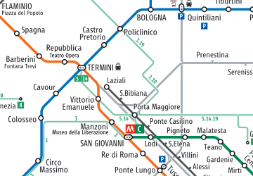 Metro / Tram / Rail