Monte Agnèr, Dolomites
Map

Gallery

Facts and practical information
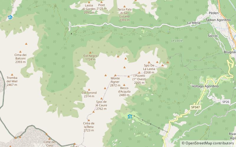
Monte Agnèr is a mountain of the Dolomites located near the village of Taibon Agordino in Belluno, northeast Italy. It lies in the Pala group and is known locally as Il Pizzòn, meaning Great Peak. The mountain has several sub-peaks, Lastei d'Agnèr at 2,861m, Spiz d'Agnèr Sud at 2,652m, Torre Armena at 2,652m and Spiz d'Agnèr Nord at 2,545m. It was first climbed in 1875 by Cesare Tomé, accompanied by guides Tomaso Dal Col and Martino Gnech. ()
Local name: Monte Agner First ascent: 1875Elevation: 9423 ftProminence: 1683 ftCoordinates: 46°16'38"N, 11°57'15"E
Address
Dolomites
ContactAdd
Social media
Add
Day trips
Monte Agnèr – popular in the area (distance from the attraction)
Nearby attractions include: Rifugio Rosetta "Giovanni Pedrotti", Vezzana, Pala group, Agordo.


