Farnese Gardens, Rome
Map
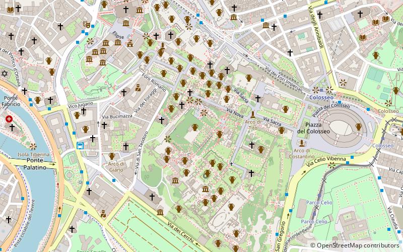
Map

Facts and practical information
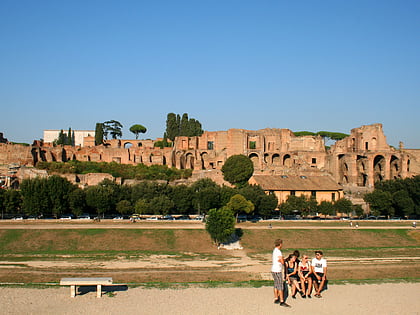
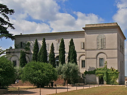
The Farnese Gardens, or "Gardens of Farnese upon the Palatine", are a garden in Rome, central Italy, created in 1550 on the northern portion of Palatine Hill, by Cardinal Alessandro Farnese. They were the first private botanical gardens in Europe; the first botanical gardens of any kind in Europe were started by Italian universities in the mid-16th century, only a short time before. ()
Address
CampitelliRome
ContactAdd
Social media
Add
Day trips
Farnese Gardens – popular in the area (distance from the attraction)
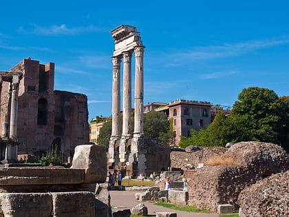
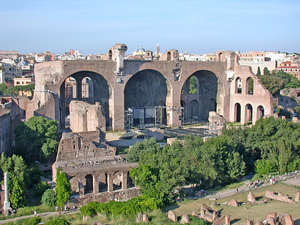
Nearby attractions include: Roman Forum, Domus Augustana, Tabularium, Arch of Titus.
Frequently Asked Questions (FAQ)
Which popular attractions are close to Farnese Gardens?
Nearby attractions include Tabularium, Rome (1 min walk), Santa Maria Antiqua, Rome (2 min walk), Palatine Hill, Rome (2 min walk), Arch of Augustus, Rome (3 min walk).
How to get to Farnese Gardens by public transport?
The nearest stations to Farnese Gardens:
Bus
Metro
Tram
Ferry
Light rail
Train
Trolleybus
Bus
- Cerchi/Bocca della Verità • Lines: 118, 160, 51, 628, 81, 85, 87, C3 (6 min walk)
- Fori Imperiali • Lines: 118, 51, 85, 87 (6 min walk)
Metro
- Colosseo • Lines: B (7 min walk)
- Circo Massimo • Lines: B (13 min walk)
Tram
- Parco Celio • Lines: 3, 8 (8 min walk)
- Colosseo • Lines: 3, 8 (11 min walk)
Ferry
- Isola Tiberina • Lines: Battelli di Roma (14 min walk)
- Ponte Cavour (30 min walk)
Light rail
- Roma Porta San Paolo • Lines: Fc2 (27 min walk)
- Roma Termini • Lines: Fl6, Fl7 (28 min walk)
Train
- Roma Termini (28 min walk)
Trolleybus
- XX Settembre/Min. Finanze • Lines: 90 (31 min walk)
- Volturno/Cernaia • Lines: 90 (31 min walk)

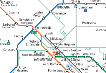 Metro / Tram / Rail


