Venetian Lagoon, Venice
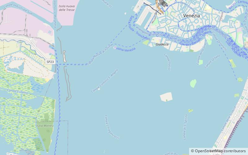
Map
Gallery
Facts and practical information
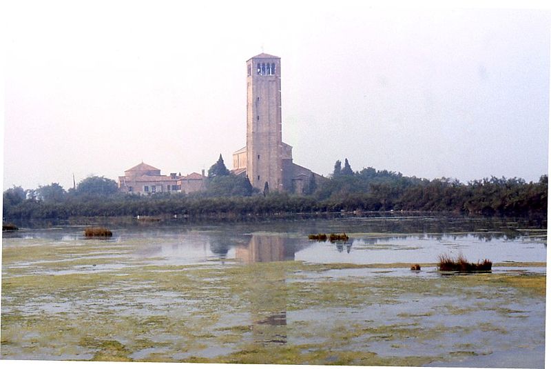
The Venetian Lagoon is an enclosed bay of the Adriatic Sea, in northern Italy, in which the city of Venice is situated. Its name in the Italian and Venetian languages, Laguna Veneta—cognate of Latin lacus, "lake"—has provided the English name for an enclosed, shallow embayment of salt water, a lagoon. ()
Local name: Laguna di Venezia Area: 212.36 mi²Maximum depth: 71 ftCoordinates: 45°24'47"N, 12°17'50"E
Address
Venice
ContactAdd
Social media
Add
Day trips
Venetian Lagoon – popular in the area (distance from the attraction)
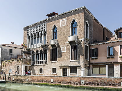
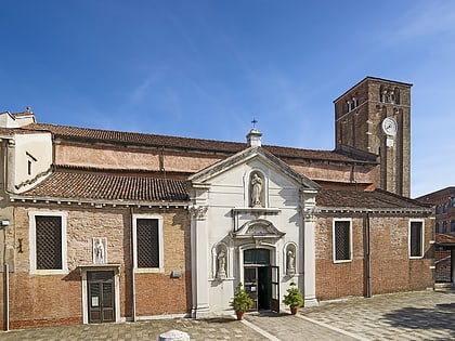
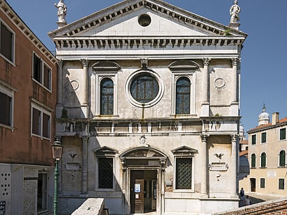
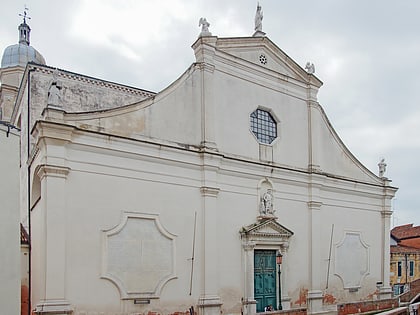
Nearby attractions include: Palazzo Giustinian Recanati, Palazzo Barbarigo, Palazzo Clary, Palazzo Ariani.
Frequently Asked Questions (FAQ)
How to get to Venetian Lagoon by public transport?
The nearest stations to Venetian Lagoon:
Ferry
Ferry
- Sacca Fisola • Lines: 2 (37 min walk)
- Molino Stucky • Lines: B (40 min walk)


