Ponte Corvo Bridge, Padua

Map
Facts and practical information
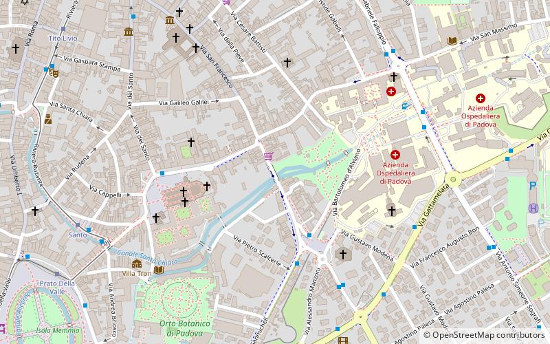
The Ponte Corvo, rarely Ponte Corbo, is a Roman segmental arch bridge across the Bacchiglione in Padua, Italy. Dating to the 1st or 2nd century AD, its three remaining arches cross a branch of the river and are today partly buried respectively walled up. The span-to-rise ratio of the bridge varies between 2.8 and 3.4 to 1, the ratio of clear span to pier thickness from 4.9 to 6.9 to 1. ()
Length: 171 ftCoordinates: 45°24'7"N, 11°53'1"E
Address
Padua
ContactAdd
Social media
Add
Day trips
Ponte Corvo Bridge – popular in the area (distance from the attraction)
Nearby attractions include: Orto botanico di Padova, Basilica di Santa Giustina, Scuola del Santo, Prato della Valle.
Frequently Asked Questions (FAQ)
Which popular attractions are close to Ponte Corvo Bridge?
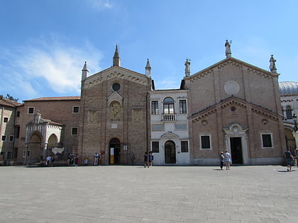
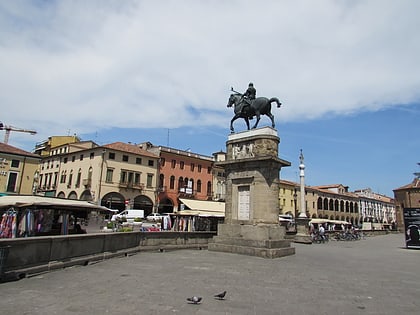
Nearby attractions include Basilica of Saint Anthony of Padua, Padua (4 min walk), Church of Santa Caterina, Padua (5 min walk), Gattamelata, Padua (5 min walk), Piazza del Santo, Padua (5 min walk).
How to get to Ponte Corvo Bridge by public transport?
The nearest stations to Ponte Corvo Bridge:
Bus
Tram
Train
Bus
- Pontecorvo • Lines: 2 (3 min walk)
- Sanmicheli fr 2 • Lines: 13, 16 (4 min walk)
Tram
- Santo • Lines: Sir1 (8 min walk)
- Prato Della Valle • Lines: Sir1 (10 min walk)
Train
- Padova (29 min walk)


