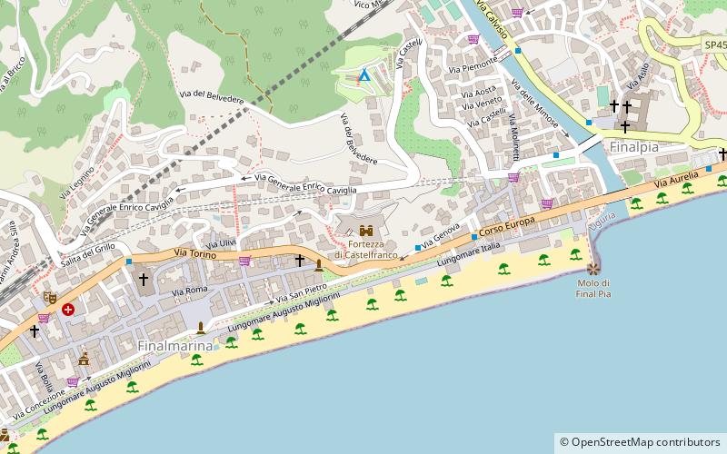
Fortezza di Castelfranco, Finale Ligure
Map

Map

Facts and practical information
The Castelfranco was a Genoese fortress in the Ligurian municipality of Finale Ligure, in the province of Savona, located on a promontory at the confluence of the Pora and Sciusa streams, on the Gottaro high ground, strategically dominating the two capes of Caprazoppa and Capo San Donato. It is positioned 26 meters above sea level.
Coordinates: 44°10'16"N, 8°21'1"E
Address
Via Generale Enrico CavigliaFinale Ligure
ContactAdd
Social media
Add
Day trips
Fortezza di Castelfranco – popular in the area (distance from the attraction)
Nearby attractions include: Arene Candide, Calvisio, Duomo di San Giovanni Battista, Church of San Biagio.
Frequently Asked Questions (FAQ)
Which popular attractions are close to Fortezza di Castelfranco?
Nearby attractions include Duomo di San Giovanni Battista, Finale Ligure (7 min walk), Final Pia, Finale Ligure (8 min walk), Abbazia Benedettina di Santa Maria, Finale Ligure (9 min walk).


